Join us on a Friday evening walk
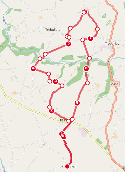
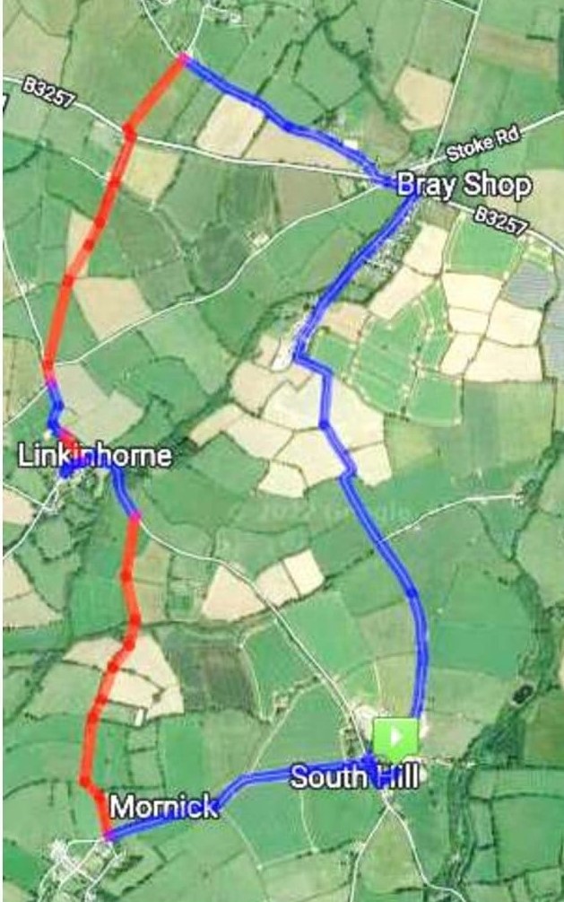
This month we’re heading to Lezant church, you have options on the length of walk. Starting from South Hill the full walk is 11 miles
Or start from Bray Shop is 8 miles
Or one way to/from Lezant can be arranged
STARTING from SOUTH HILL CHURCH at 2:30pm or BRAY SHOP at 3pm
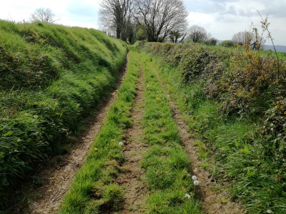
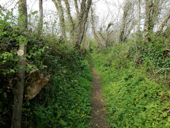
The route takes us along the road to Exwell where we follow the footpath to Trerefters, onto Kingscoombe and Tregoiffe. Taking the road down to Trecarrell bridge and footpath to Trebithick and West Penrest, then road into Lezant to the church, where we’ll be able to go up the tower and ring the bells. We return via Trekenner taking the footpath through East Penrest to Trekenner Mill and back via the road.
Contact Ali for all the details iamalihumphreys@yahoo.com or 07305 044049
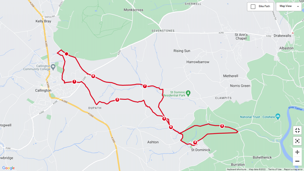
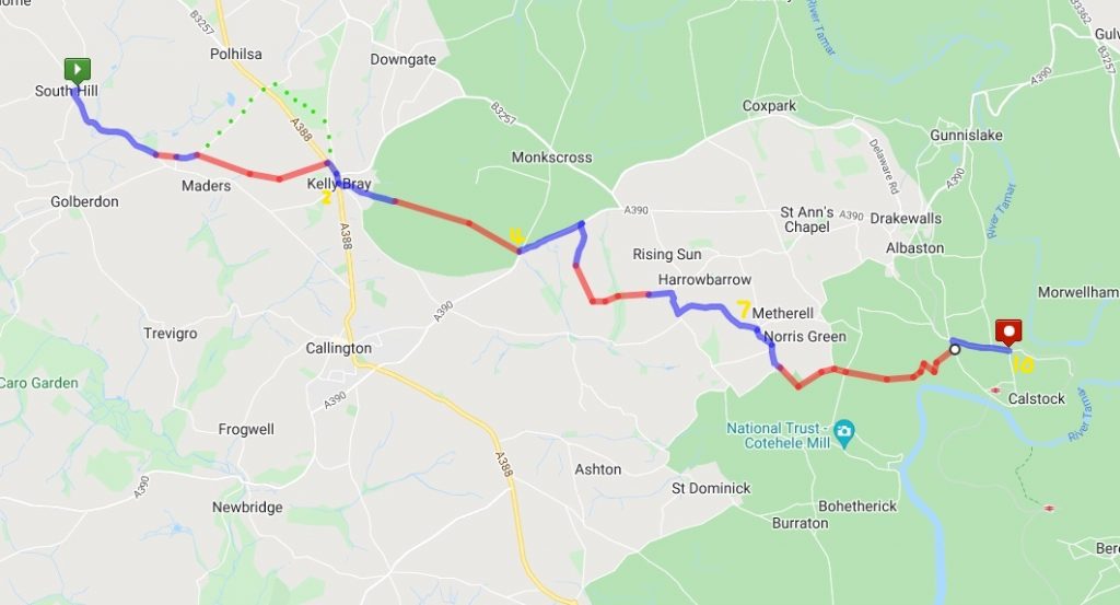
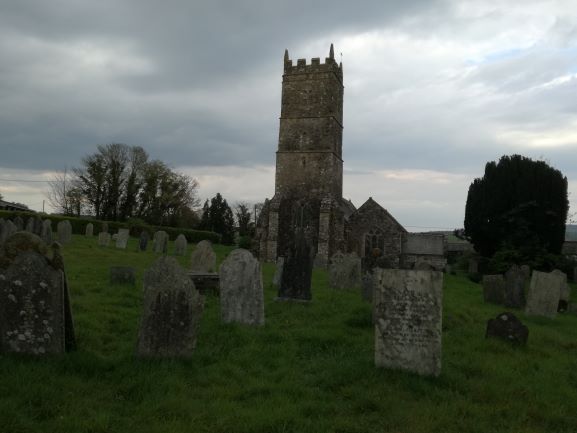
Start 10am St. Sampsons church South Hill Grid ref SX 329 726 Postcode PL17 7LP
Choose from the full route which is 10.3 miles or 8 miles, or 6 miles or 3 miles and let Ali know ASAP. Transport will be arranged back from Calstock church. If you have dogs please make your own arrangements. Toilets are at the start, at HB & Metherel hall and at St Andrews church.
Brings drinks and refreshments, we’ll aim to lunch at HB & Metherel hall in the play area, it’s 3 miles from there to St Andrews.
St Andrews bell ringers will welcome us with a cup of tea and chance to go up the tower and see the bells and also try your hand at ringing them. There are lots of interesting details about the bells www.calstockbellringers.com, the church and the grave yard where you can find 3 people died on The Titantic and a Celtic Cross to mark the grave of Sir William Salusbury-Trelawny of Harewood House, Lord Lieutenant of Cornwall and the Grandfather of Emily Hobhouse.
Sign up for the walk or meet us at the end, if you don’t want to walk maybe you could offer a lift back to our cars. Either way let Ali know your intentions so she can coordinate. Email is best iamalihumphreys@yahoo.com or 07305 044049
Next month we have another church bells walk in the planning and look forward to walking with you. Contact Ali to be added to the list for more details. iamalihumphreys@yahoo.com
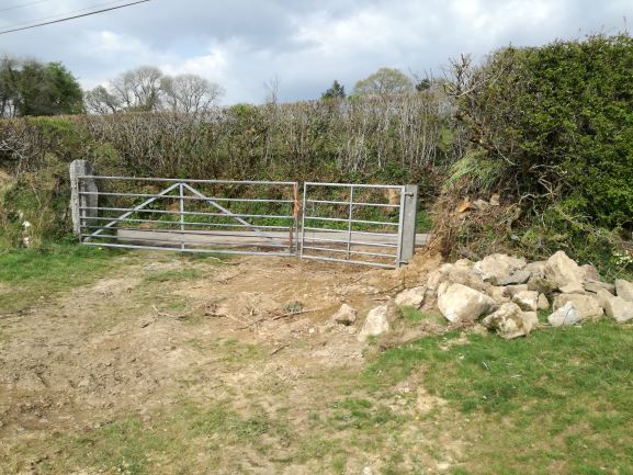
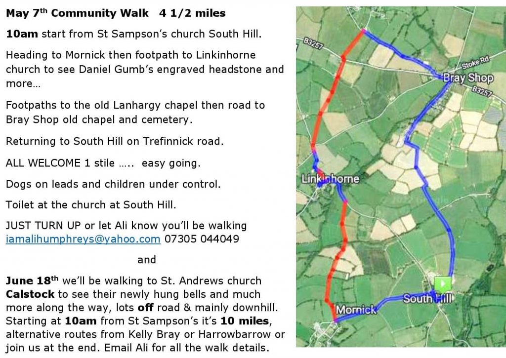
From South Hill church take the road towards Mornick. After a few 100 meters turn right onto a farm track and follow to the end. Turn right onto a path, at the metal gate take care as it’s off it’s hinges and needs lifting to enter the field.
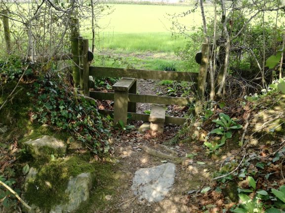
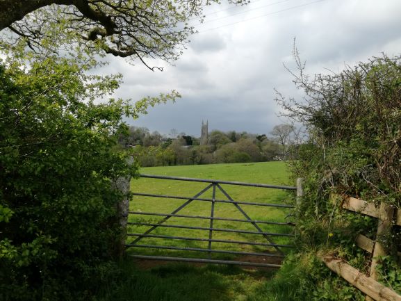
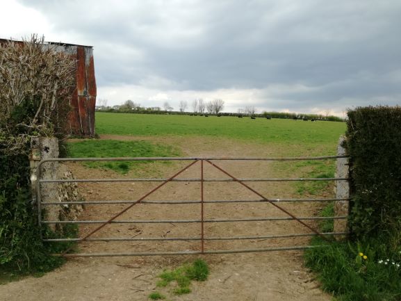
Keep the hedge on your left side and follow a worn footpath, as you drop down through an uncultivated area and step over the stream and the stile. Keep the hedge on your left to a metal gate with a great view of the church at Linkinhorne. Go through this gate and veer to the right, there’s a newly enlarged gateway that brings you to the road.
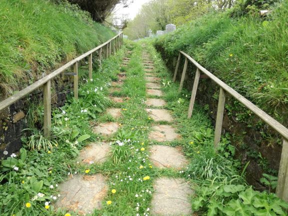
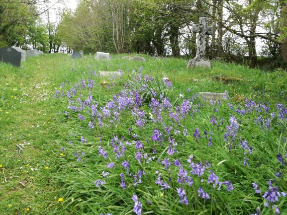
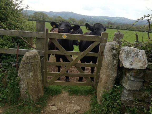
Turn left and follow the road to Linkinhorne. You can take a detour to the church or at the junction, go straight ahead and enter the cemetery, the path takes you to the top where you join the road. Go left around the corner, past the turn on your left and at the junction of the turn on your right. Go though the metal gate, marked with a FP disc. From the gateway you can see a small pedestrian gate in the hedge ahead to your right. Aim for this. There were friendly young cattle here when I walked through, who were vaguely interested.
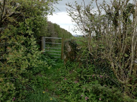
Go through the gate, look left and ahead to see a wooden gate, with another wooden gate immediately behind it. Go through these and keep the hedge on your left to the gateway and track that runs alongside some buildings and brings you to a gate at the main road. TAKE CARE and cross over.

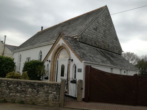
Go through the small metal gate here and drop down to the road at Lanhargy Old Chapel.
Turn right and follow the road to Bray Shop.
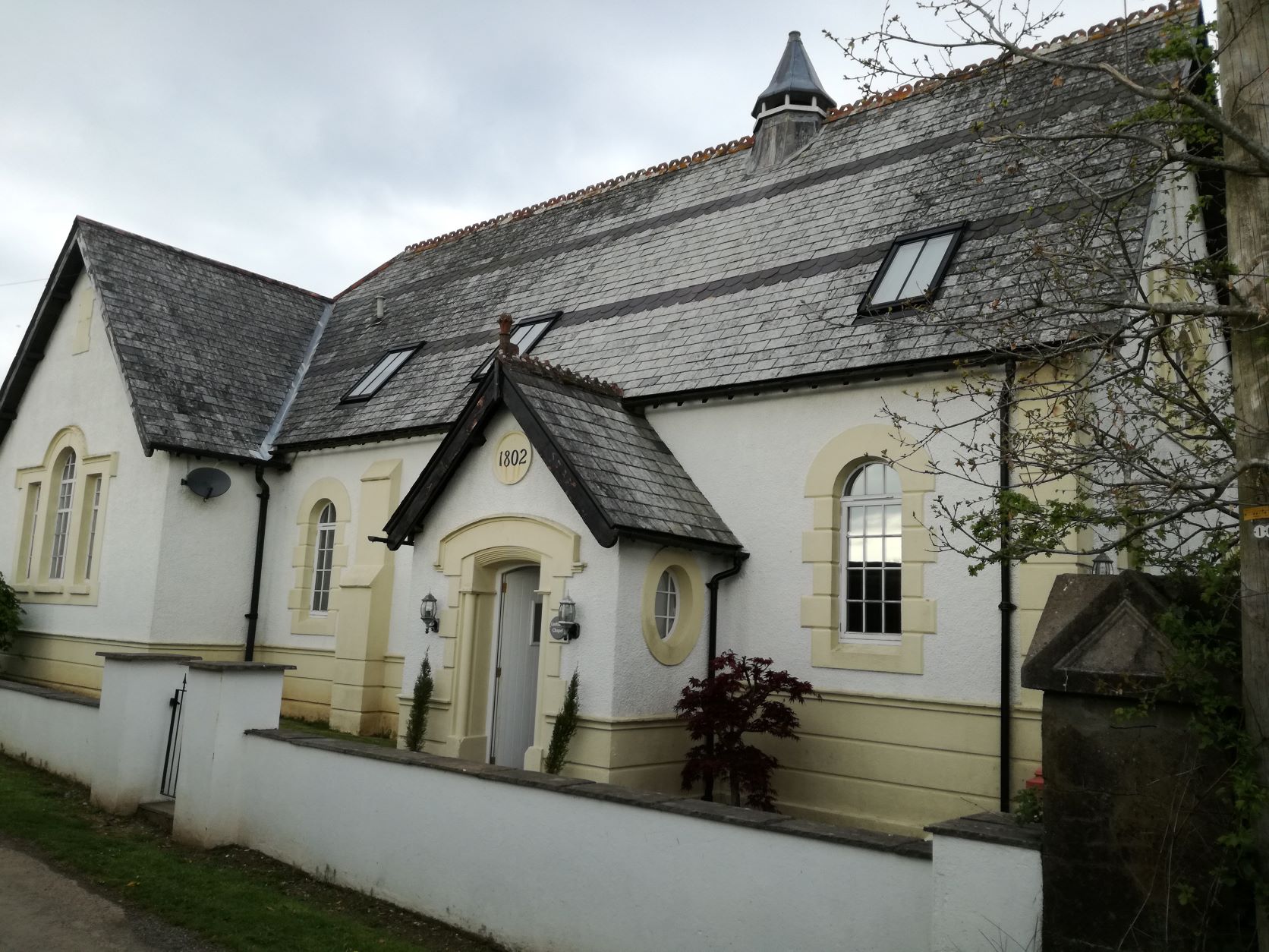
Turn left at the main road and at the junction, turn left. Bray Shop Old chapel is on the left and alongside is a small path that takes you to the cemetery.
Cross back over the main road to the notice board, the building there is the old Sunday School.
From the notice board follow the pavement to the junction and turn right, on Trefinnick rd, signposted to South Hill.
Stay on this road back to South Hill church.
Sunday Morning Meander 5 miles or less, on parish lanes and fields
Dogs on leads welcome and children under control, plus Mums on Mothers Day. Some stiles need climbing.
Starting at South Hill church Sunday March 27th 10:45am
We aim to be back by 1pm, Bring your own drink.
All welcome, a chance to catch up with each other and have fun.
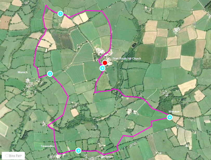
We’ll take the Bray Shop road to the entrance of Treven and turn left crossing fields to Baddaford, a short road walk towards St. Mellor’s church tower, at Linkinhorne, turning onto the footpath and aim at the wind turbine, striding over the stream and up to Mornick. Here we’ll take the road back towards the church and those that want a 2 ½ mile walk can continue back.
Otherwise we’ll be crossing fields and stiles to Trewassick then dropping down over the stream and up the other side, staying on the footpaths to Trewoodloe. Here we’ll head for Golberdon .. the last opportunity to cut the walk short.
We’ll take the “main” road for a short distance before taking fields to Manaton then the road to the final leg and final footpath from Tregate passing The Old School and returning to the church.
Saturday 19th February Start/Finish : The Manor Inn, Rilla Mill
Distance : 6 miles plus predominantly along footpaths
10:00 Departure I anticipate this a 3 hour 30 min walk
Dogs welcome, expect dogs to be on leads.
Route : Rilla Mill – Ley Mill – Phoenix United Mine – Henwood – North Darley – Starra Woods – Rilla Mill
Note : Parking either at the pub if you intend to make use of it upon your return; or, The Village Hall which is on the right going down hill towards the pub if you are not going to The Manor.
Donation to Royal British Legion at the end.
Russ Hanson russhanson@live.co.uk
As well as the on line newsletter we also offer a print copy which can be delivered to you within the parish. We love your feedback and articles email to editor@south-hill or call Ali on 07305 044049.

You can follow us on our South Hill Parish FACEBOOK Group Where you can share posts of interest, lost cats and dogs, for sale or wanted items…
THANK YOU, AND ENJOY READING THE NEWSLETTER.
From The Connection Team
Archived newsletters (all of them!)
can be found in our public Google Drive folder – here…
Business advertisers can be found on our Local Business page
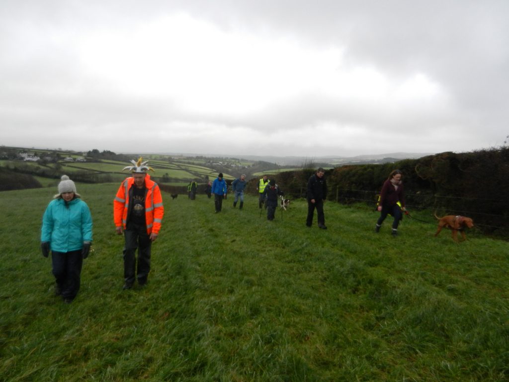
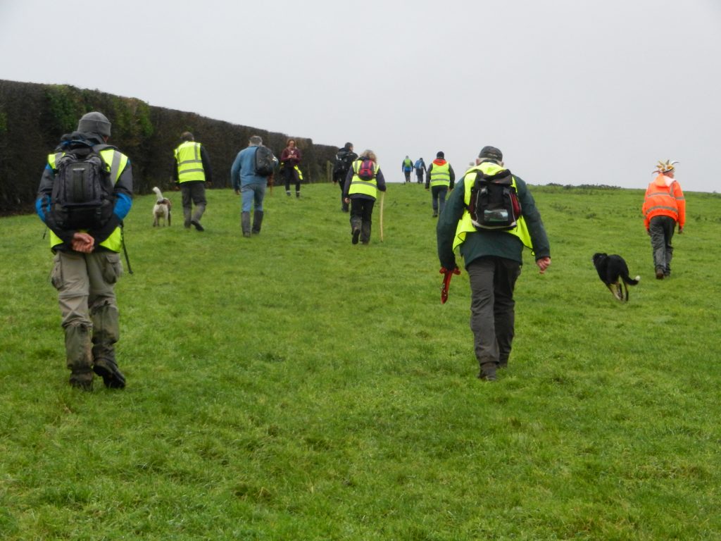
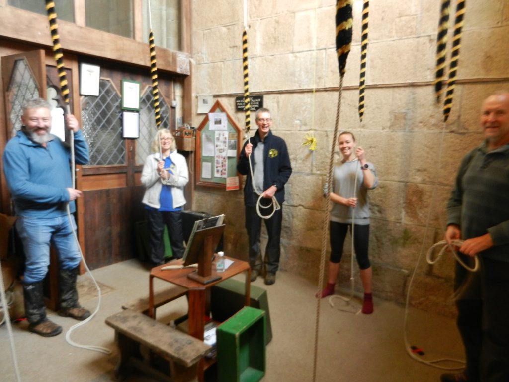
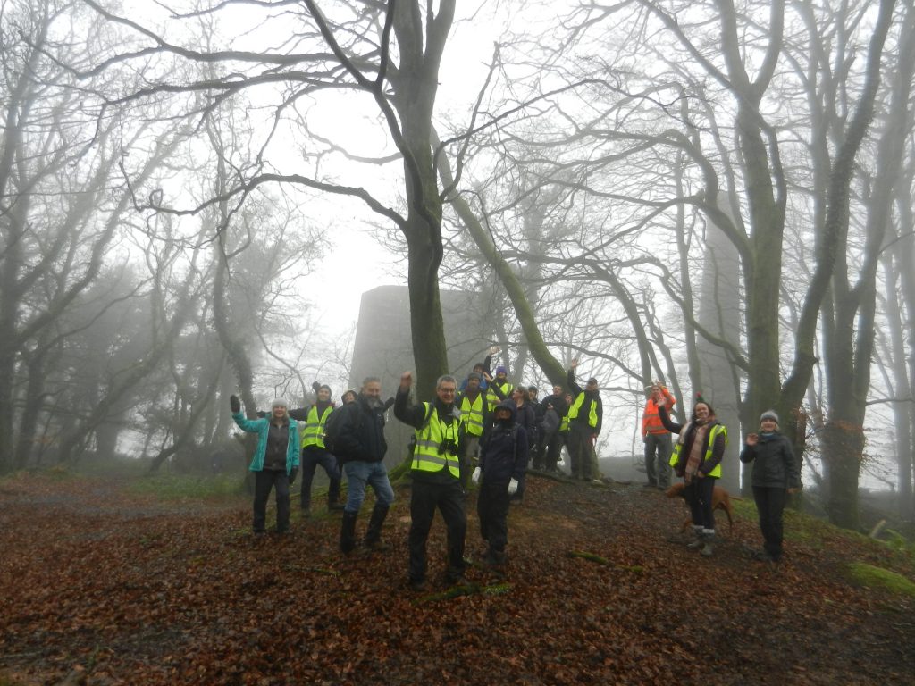
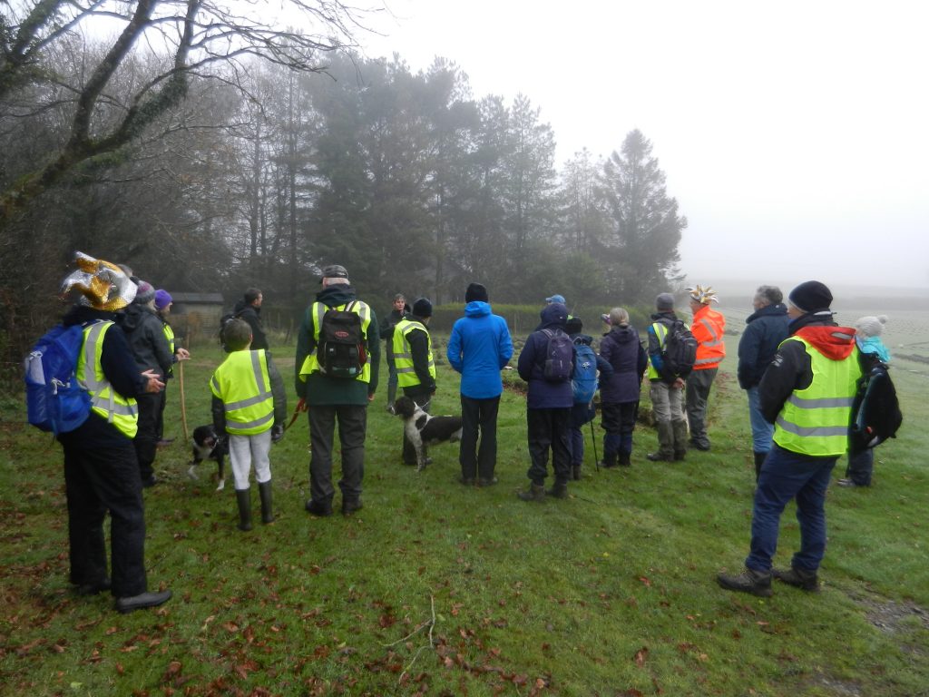
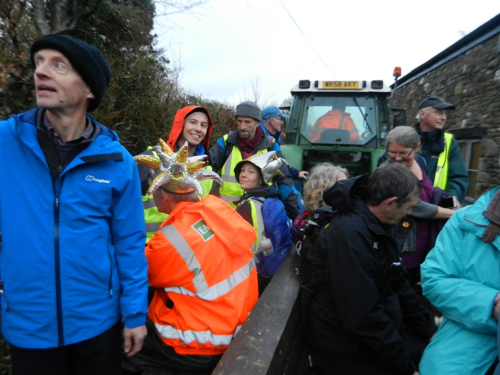
Wear or carry bells and raise funds for St Sampson’s bells fund to rehang & ring the church bells.
RAMBELL starts South Hill church Dec. 11th 9:30am
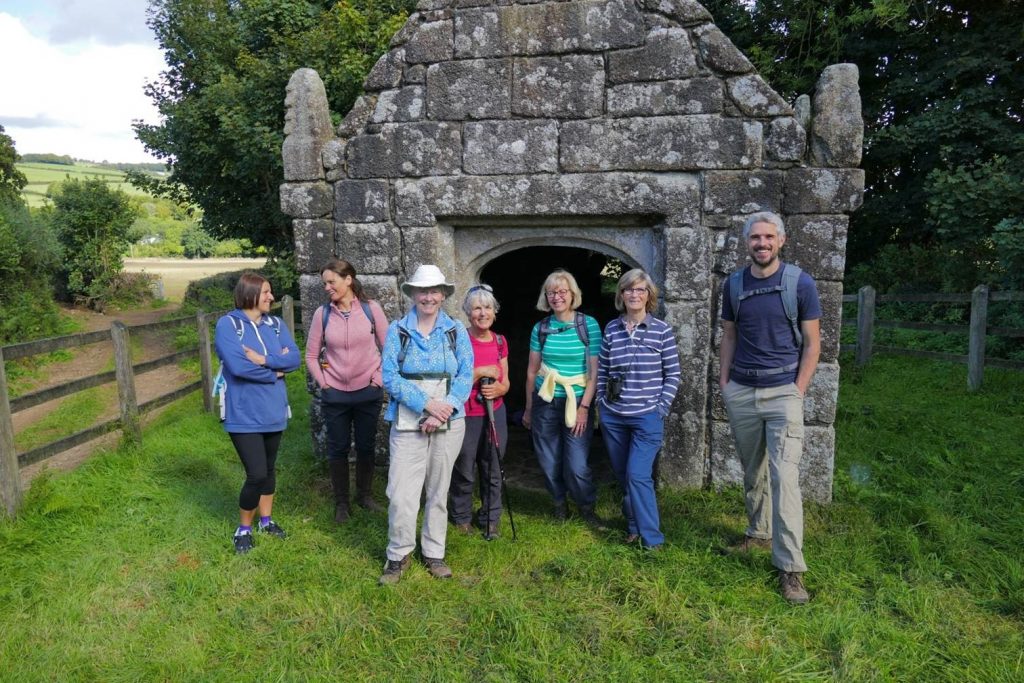
Unique experiences as we cross fields not usually allowed, bell ringing, tower climbing, lavender field, private property, Polhilsa , Whiteford Temple….
Dogs on leads and children under control at all times.
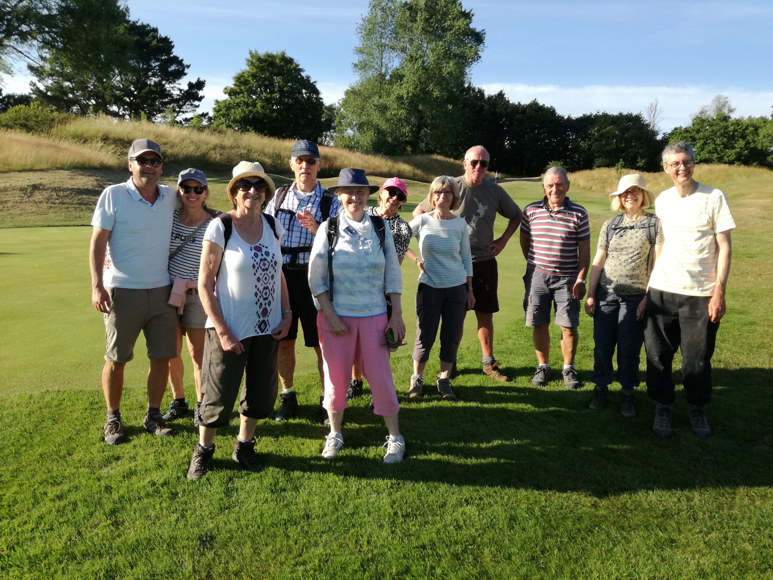
We had a great time on the walk and raised lots of money > St Sampson’s Historic bells – JustGiving , raised awareness and raised our spirits !! THANK YOU to everyone that made it such a success.