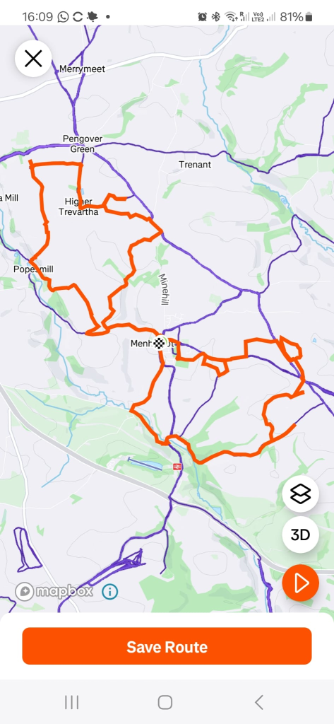
Menheniot
Menheniot
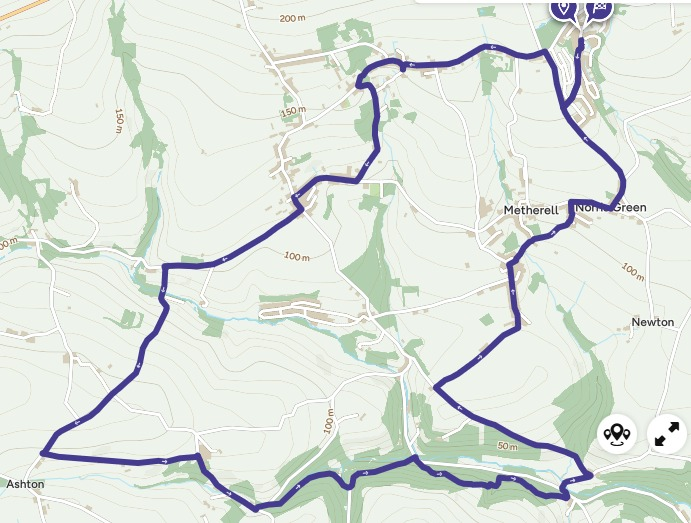
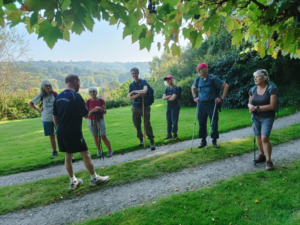
Starting at Honicombe Manor.
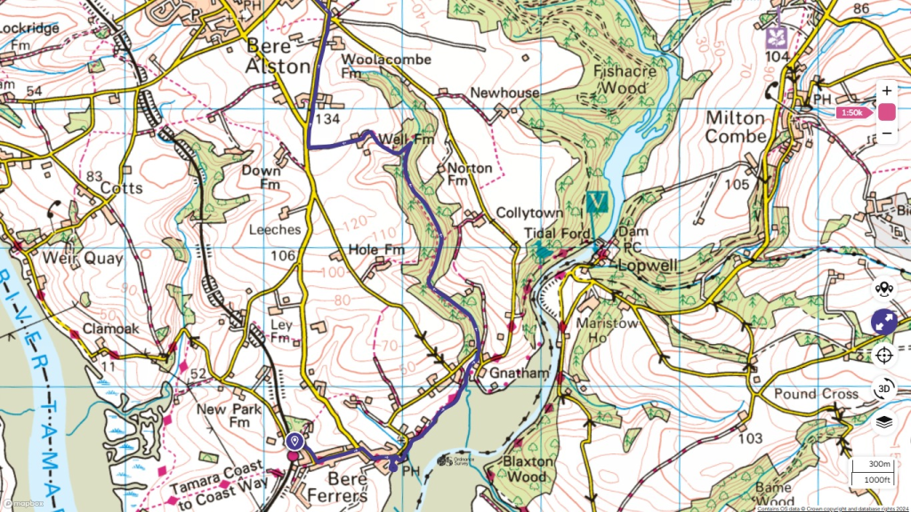
A great walk from Bere Ferres train station, down to St Andrews church at the waters edge. Inside we discovered lots of interesting artifacts and read about the artist who fell to his death from a ladder when researching the stain glass windows, which are the oldest in Devon. Beautiful bench carvings, tapestries. Graves of the NZ soldiers accidentally killed in WW1, Cholera victims and more.
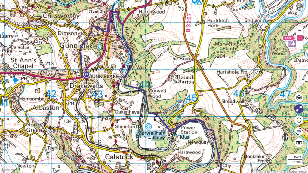
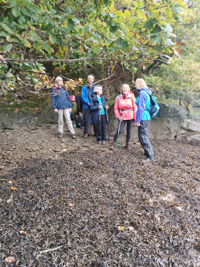
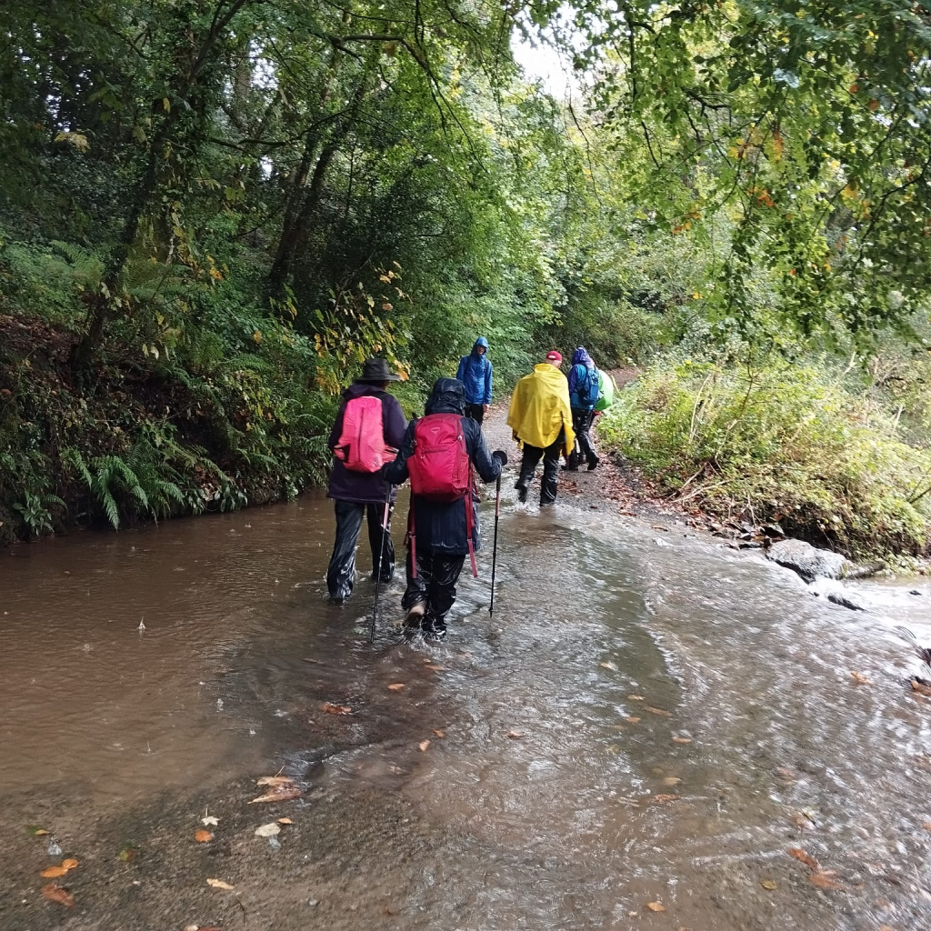
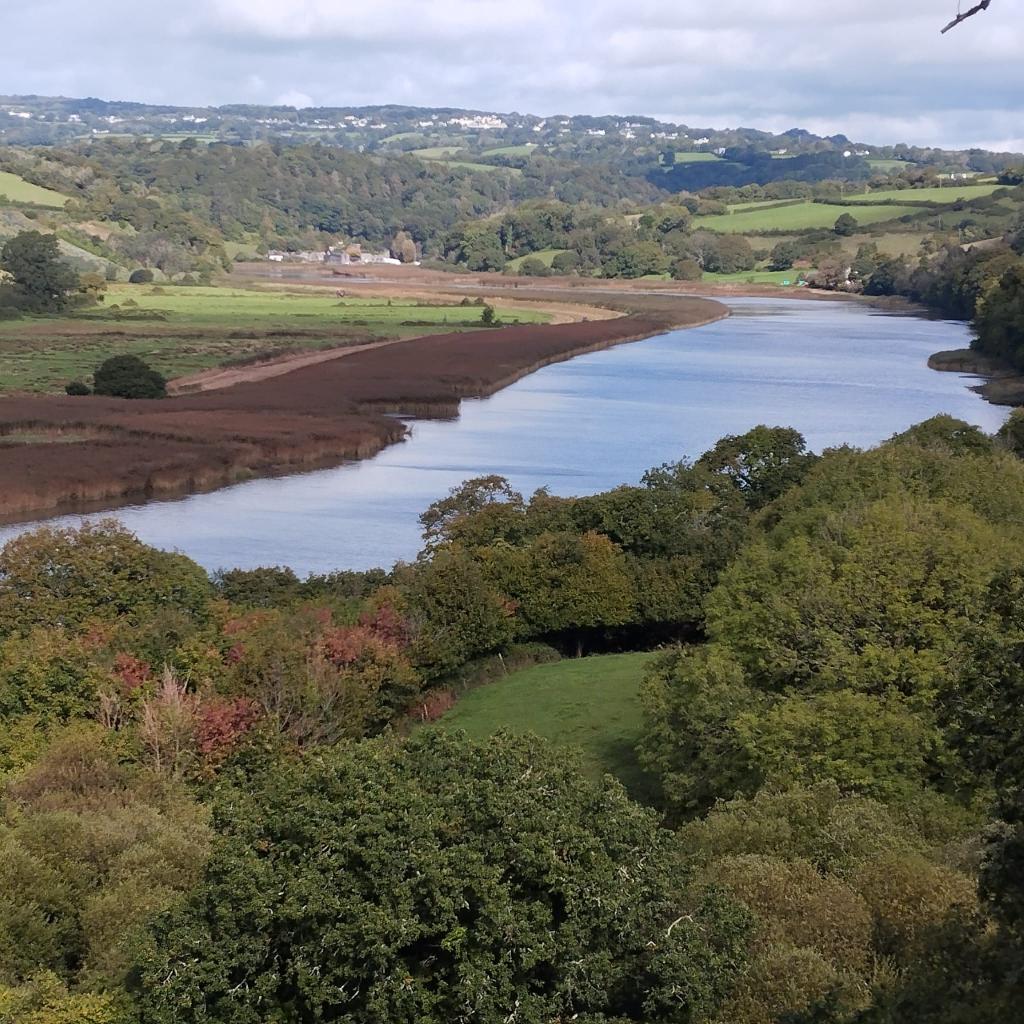
10:15am we headed along well walked footpaths through woods to Well Farm, onto Maddacleave, NewQuay for our lunch break, onto Morwellham along the train line, in the sunshine. Woodland tracks with autumn leaves to Chimney Rock & onto Bedford mine car park which was being resurfaced with hardcore, a short section of road down to Gunnislake Newbridge. Over the bridge we kept right and took the footpath up to Dimson, onto Station Road and back to the cars by 3:30pm .
A GREAT alternative to the train on the TAMARA WAY !
Sunday October 6th… Starting from Bere Ferres church, then onto Lopwell Dam and Saltash OUR LAST LEG OF THE TCCW.
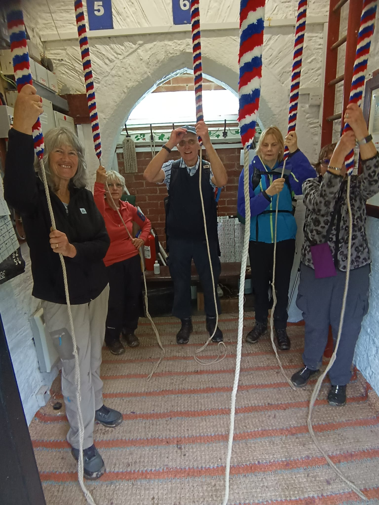
Hope you’re all recovering 🙂 Don’t think we can top that.. Great photos Caroline, incase we forget… What amazing bellringers we met.. Stan at Tamerton Foliot ready with a hot drink as a group of drowned rats turned up…
and David at Saltash St Nics both were so enthusiastic, knowledgeable and patient 🙂 … So glad the sun came out as we crossed THE TAMAR after following The Tavy for so long..
We have a few churches we’ve missed along the way, but I think we can say We’ve Done The Tamara Way… Our way. TY Peter n Caroline for the support along the way especially checking routes and trains, tides and buses. To everyone who’s been apart of these adventures… There’s more to come …
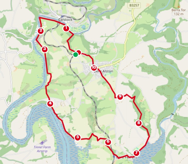
Calstock train station at 9:20am train to Bere Alston…. Weir Quay cafe tea stop at mile marker 5, onto Bere Ferrers, visit the church/bells/toilet before looping back to Bere Alston.
Horsebridge to Calstock..11 miles, all on the TAMARA WAY.. SUNDAY 15th September.
A nice section along the track and through (potentially wet) fields to Luckett then through Greenscombe Wood to Chilsworthy, pub stop.
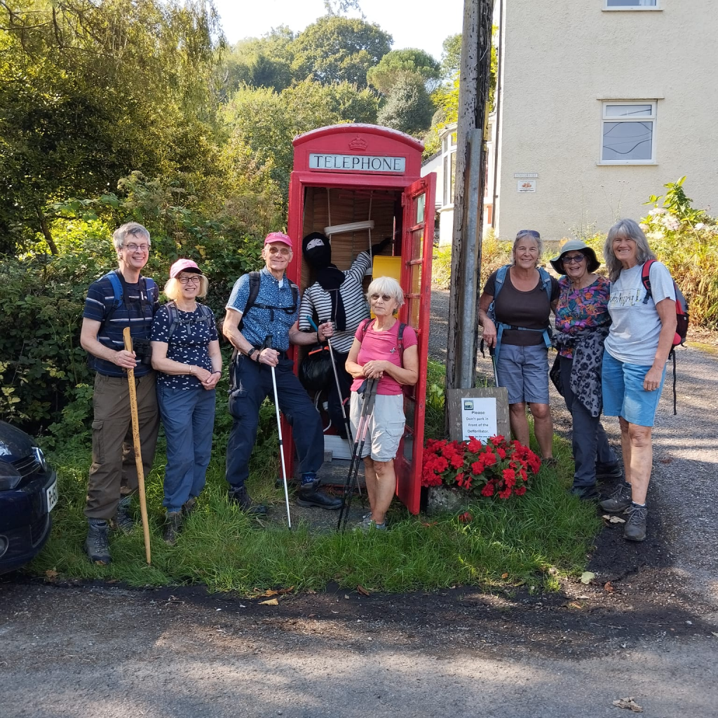
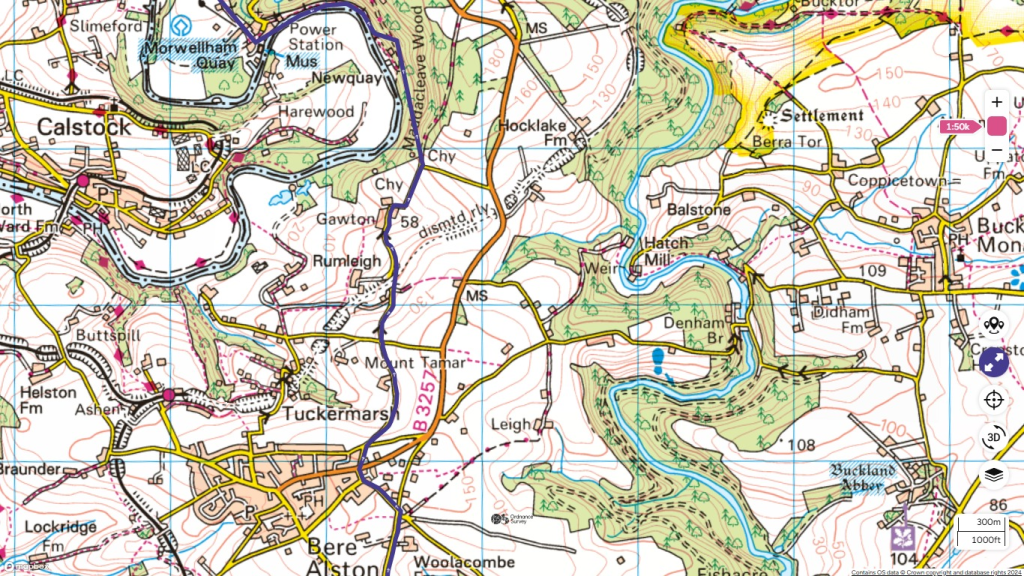
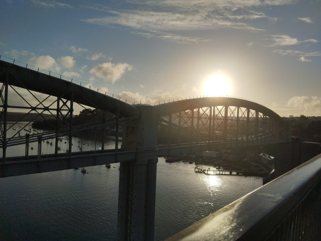
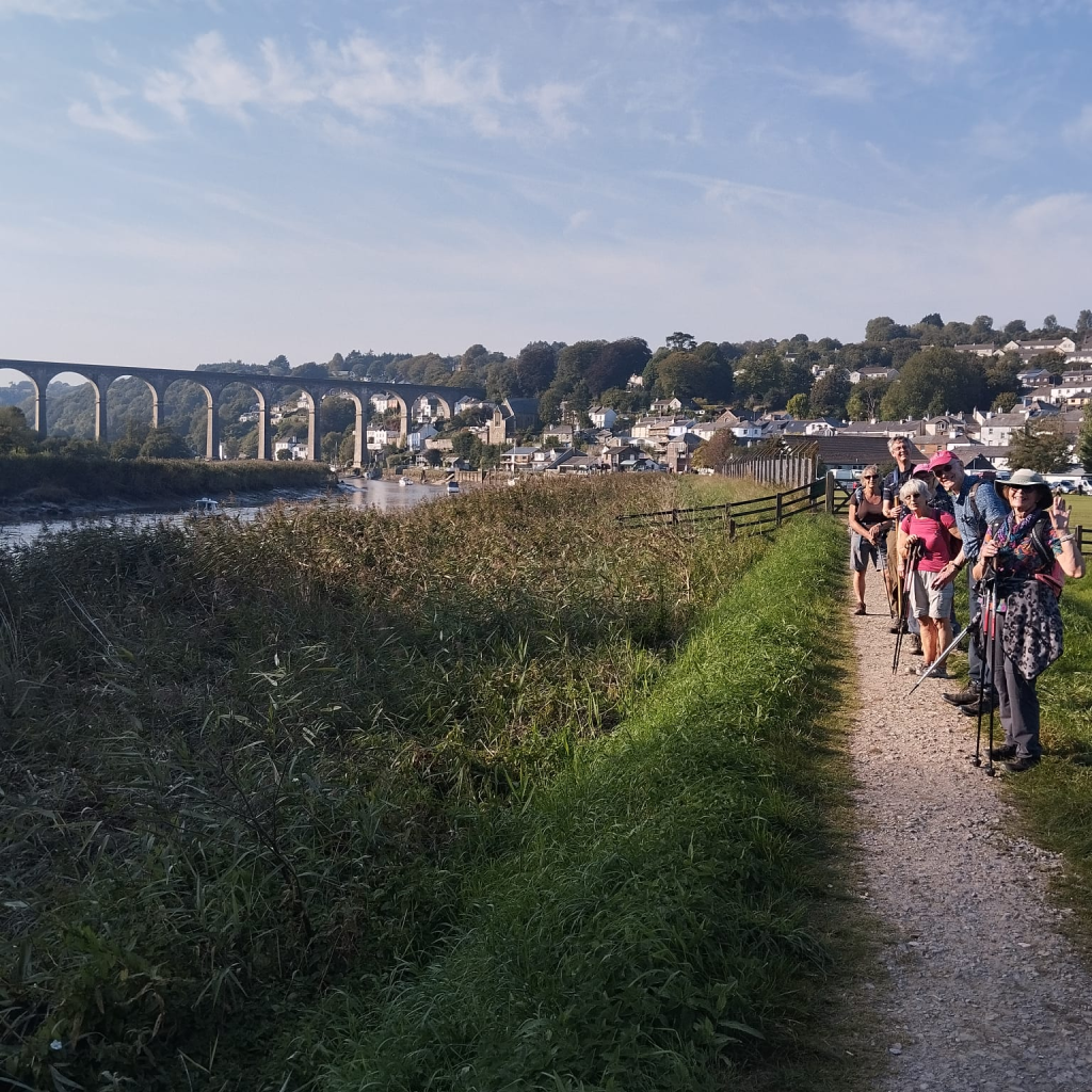
Uphill slog, THEN Down into Gunnislake wood and popping out at Gunnislake New Bridge and continuing along the footpath all alongside THE TAMAR…. Then we pick up the road past TV Nursery (cuppa tea stop ) before the short uphill section under the train line and onto St. Andrews Church…(8 mile marker) onto Okeltor. TY John for the info
and the riverside path to CALSTOCK.
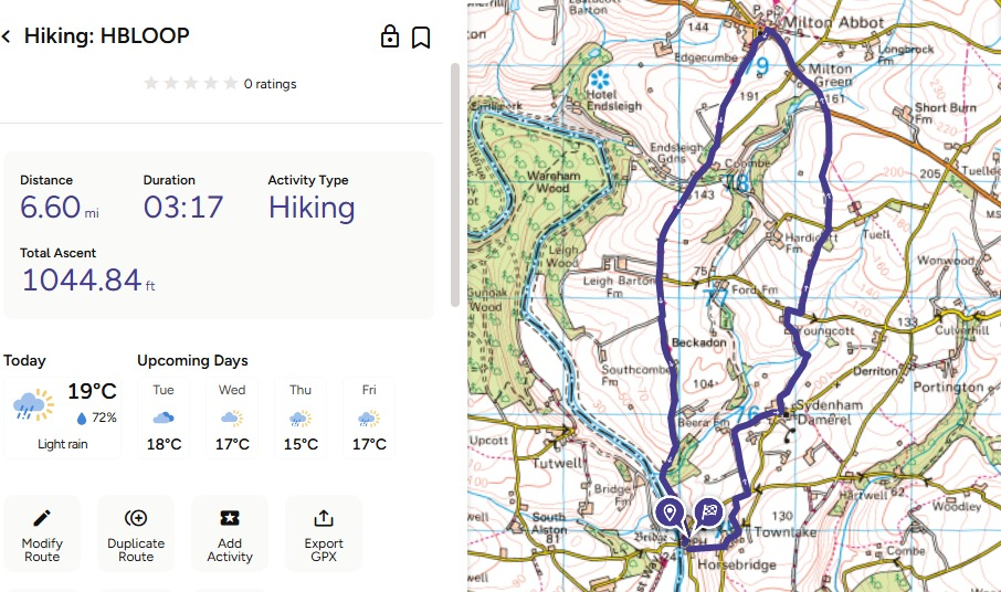
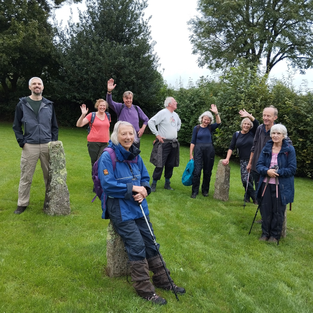
Sunday 8th 1:30pm start from THE ROYAL Horsebridge. 6.6miles loop walk, via Sydenham Damerel and Milton Abbot and returning along the Tamara Way.
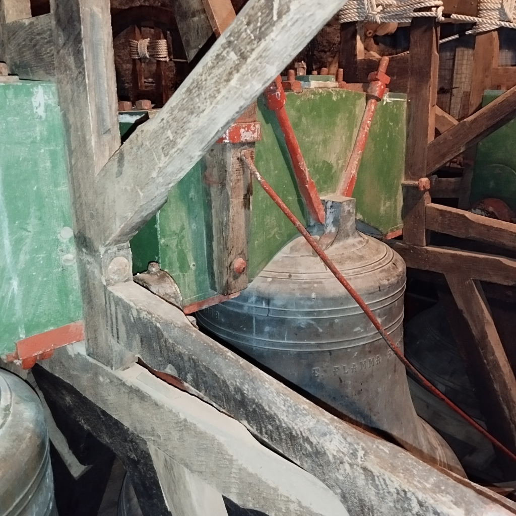
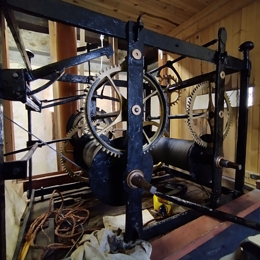
Then onto Lamerton church. Massive thanks to William that took us up the tower to the roof and showed us the ropes. Great meal at the Blacksmiths afterwards.
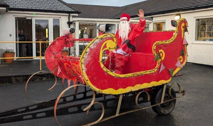
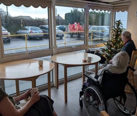
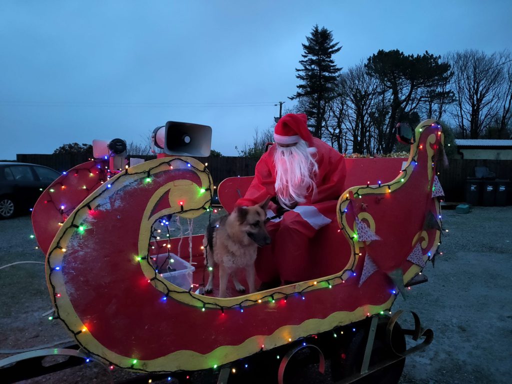
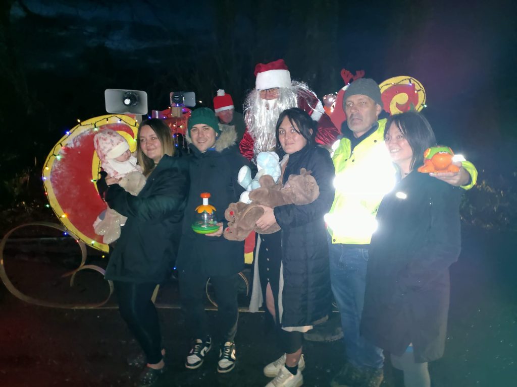
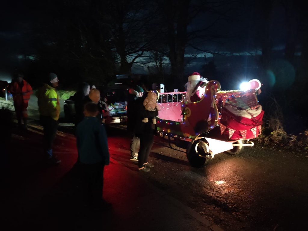
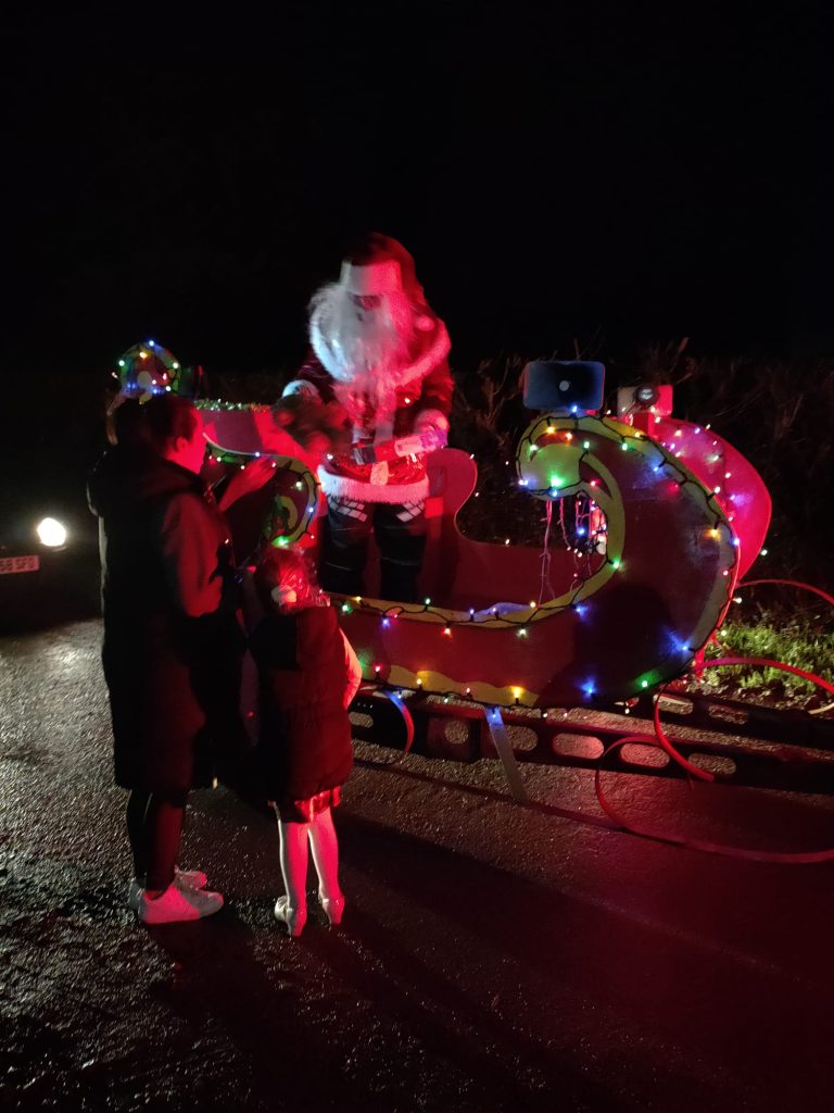
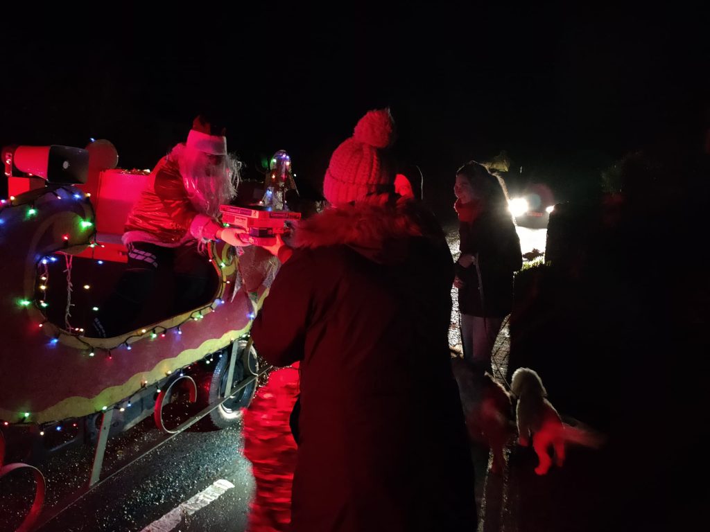
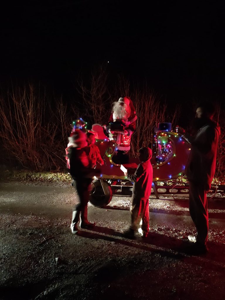
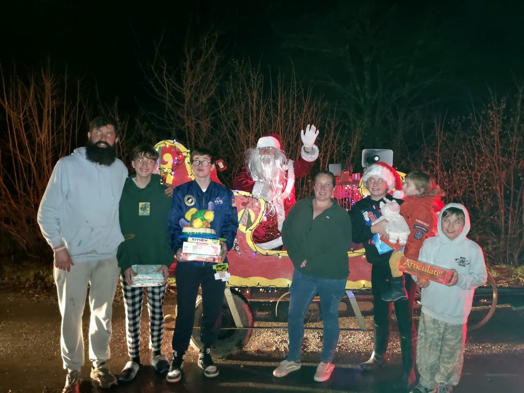
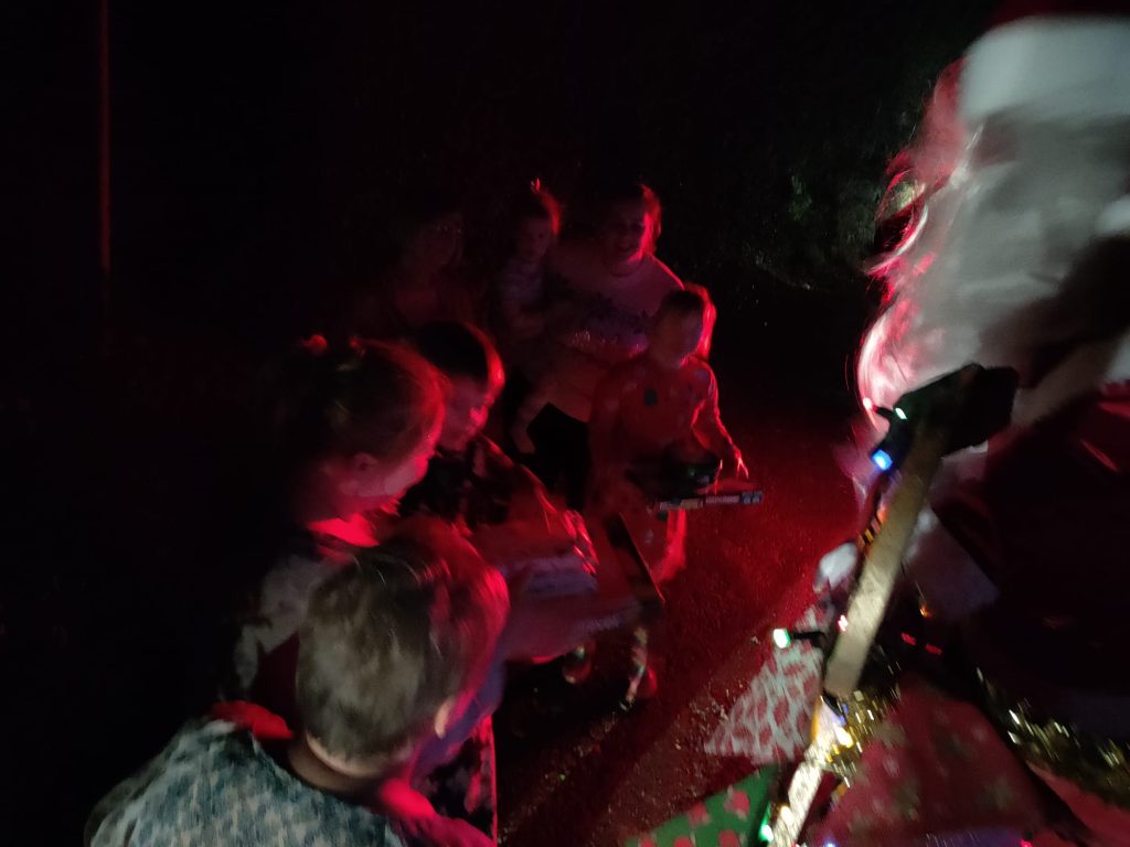
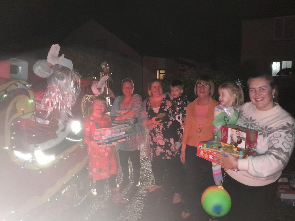
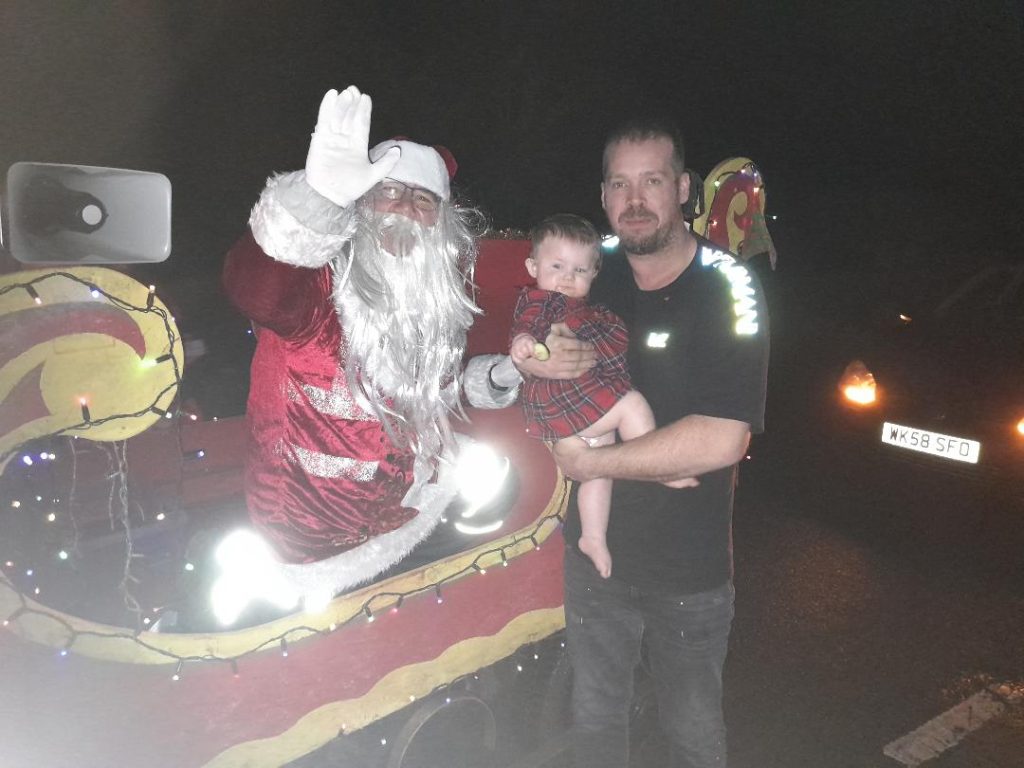
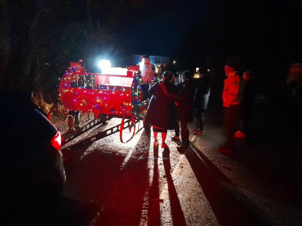
The South Hill Connection team arranged for Santa to take his sleigh around the parish on Friday evening December 20th….
First he visited friends at Addison Park care home in Callington, then stopped at Camelot Kennels and had a cuddle from Honey before heading to Bray Shop and a trip around South Hill parish, making magical moments along the way…
As well as the on line newsletter we also offer a print copy which can be delivered to you within the parish. We love your feedback and articles email to editor@south-hill.co.uk or call Ali on 07305 044049.

You can follow us on our South Hill Parish FACEBOOK Group Where you can share posts of interest, lost cats and dogs, for sale or wanted items…
THANK YOU, and enjoy reading the newsletter
From The Connection Team
George Symonds VC DCM
We also remember George Symons a recipient of the Victoria Cross, the highest and most prestigious award for gallantry in the face of the enemy that can be awarded to British and Commonwealth forces.
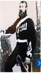
He was awarded Victoria Cross, Distinguished Conduct Medal, Légion d’honneur (France), Medal of Military Valour (Sardinia)
http://www.vconline.org.uk/george-symons-vc/4588315903
George Symons was born in South Hill parish on the 18th March 1826 and baptised on the 2nd April 1826 at St Sampson’s Church. Son of William a farm labourer, and Anne Symons, living at Lower Trewassick with their daughter Mary Ann. (William possibly born 1760 and died in 1842).
The 1841 census shows George aged 15, living with a Blacksmith called Widger and his family at The Lodge which appears to be connected to Manaton Mill. The other various properties surveyed at Manaton Mill were: Manaton Mill, which contained three dwellings containing the miller and family, and 2 agricultural labourers and families; a property listed as Shop where a farmer and his children lived with 3 agricultural labourers, and Higher Ford where a farmer and his family lived.
George enlisted in the Royal Artillery on the 29th June 1845 and by the 1st January 1853 he had been promoted to the rank of Sergeant.’ The act of his gallantry for which he was awarded the Victoria Cross was on 6th June 1855. He recovered from his wounds and was later commissioned into the Military Train, transferred back to the Royal Artillery in 1862 and reached the rank of Captain. On 15 January 1862 he was appointed Adjutant of the 1st Administrative Brigade of Yorkshire (East Riding) Artillery Volunteers.
He retired to Yorkshire, where on 18th November 1871 he died in Bridlington, aged 45 years. He was buried in the churchyard of Bridlington Priory. His medals are held by the Royal Logistic Corps Museum, Camberley, Surrey.
An amazing life for the son of an agricultural labourer: Arising from his act of gallantry, he was commissioned at a time when officers were almost exclusively upper class, and eventually reached the rank of Captain.