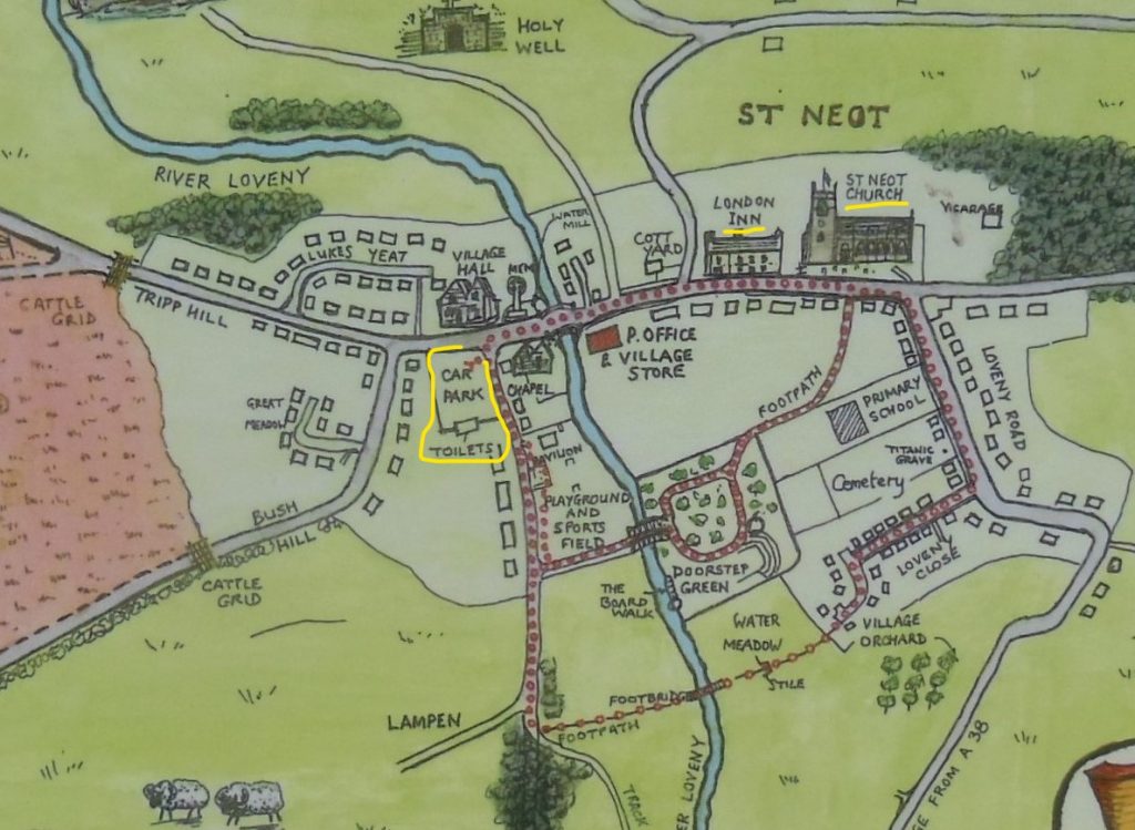
From Golberdon crossroads, walk through the recreation field, past the hall and the play park, out through the pedestrian gate, be careful crossing the road, into “The Square” and walk down “back lane”. Keep right, passing the houses at Moorland View, and along the path to Trewoodloe lane. Turn left and follow the lane, pass Trewoodloe Castle, Trewoodloe Farm House, Trewoodloe Cottage and turn right into the driveway of Trewoodloe House. Look for the path markers ahead, by the wood pile, keep right then left up the steps and around to the pedestrian gate.
Turn left, the path goes straight ahead, through the gate, keep the hedge on your right to the next gate, and straight on, down across the steep grass field to a metal gate. Through here you go straight ahead towards the farm house and left down the driveway, coming out at Berrio Mill.
Turn Right, see the old well on the right, and follow the old leat along the quiet road to Wagmuggle. (A great name, the origin is not known but is shown on a 1748 map) Turn left by the house and down to the stream, cross on the granite footbridge and enter the grass field. Keep the wire fence on your left. The river Lynher can be heard a few hundred yards away. Go over the stile and keep straight ahead. The reeds on your left are a good indication that this land is a flood meadow and attracts wild geese and heron can be spotted on the river bank. Spot the path on the left as it goes over 2 granite footbridges and through a wooden gate. This route was walked by miners from Golberdon and Kerney Bridge to Cheesewring Quarry and other mines.
Follow the track, (can be wet after heavy rain) and go through a total of 5 waymarked wood gates, eventually emerging onto the road (near Browda, the house was built in 1602).
Turn left, follow the road pass Wales Cottage, Beneathwood Farm (listed building) and an avenue of ancient trees, bringing you to the granite “entrance” posts. Cross the road, continuing on the footpath, used by fishermen. Over a stile into a grass field, (2 horses were here when walked in July) continue straight ahead, brings you to another stile, partially hidden by nettles, this time of year.
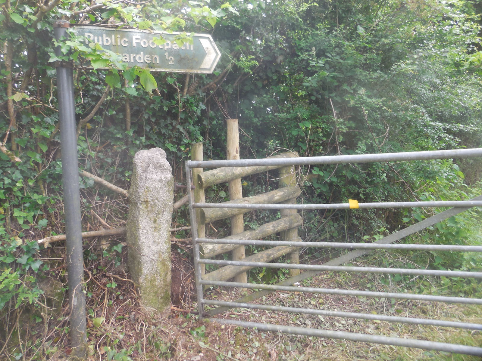
Keep straight again, you’re aiming for the house in the distance and the far corner of the top hedge, where you’ll find a gate in gate, replacing the rotting ladder stile. New fencing keeps you to the left over a wooden bridge with stiles either end.
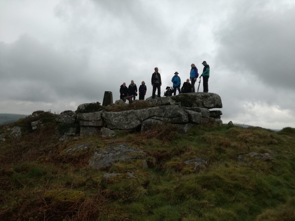
Out into the meadow with great views of Caradon, Cheesewring and Sharptor. Keep the hedge on your right, as you walk up the slope, make use of the bench if you want to enjoy the scenery. Navigate past the dog agility equipment to a pedestrian gate and driveway (at Liverscombe) to the main Rilla Mill road.
Turn Left, down the hill, past the village hall and The Manor Inn is on your left. Be silly not to stop and enjoy their hospitality……. Your ½ way point. About 3 ½ miles.
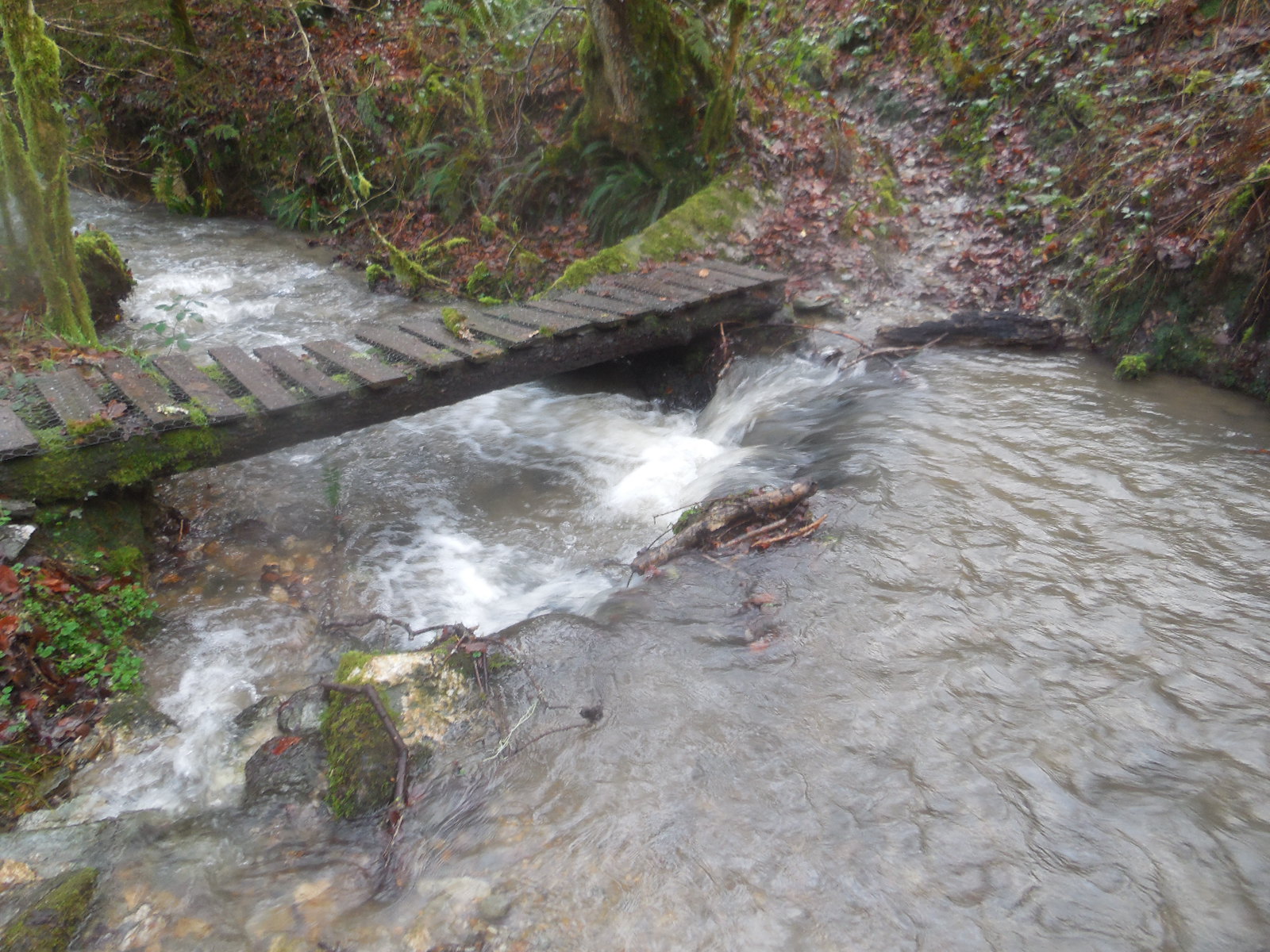
Beyond the pub, just before the bridge is Parsons Meadow and play park, another great spot to enjoy a break, (no dogs allowed). You can see and hear the leat water rushing under the bridge, once used to drive the mill here. (The building on the right, was once the home and HQ of Truscotts Omnibus Company.)
Continue over the bridge and turn left, following the road past Addicroft to Plushabridge about a mile.
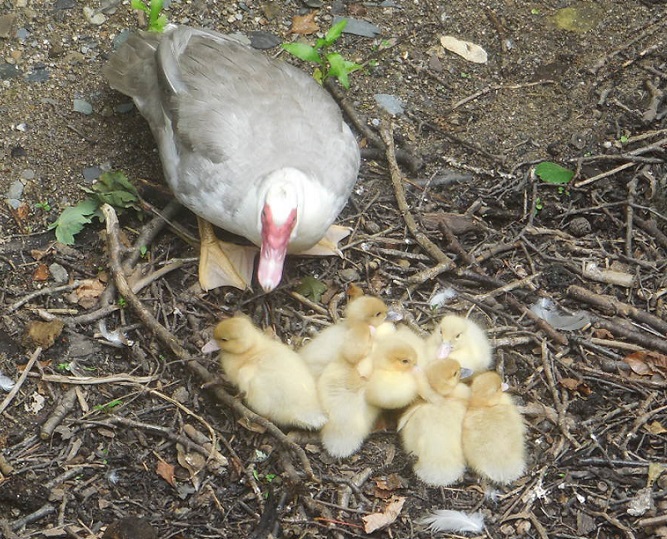
The bridge on the left was widened and parapet rebuilt in 1913 by Cornwall County Council. (Built to provide access for the miners of Caradon, to the parish church in Linkinhorne.) These ducklings were seen on July 15th.
Option 1, if you want to stay on the roads, back track off the bridge and continue straight on up the hill, bringing you to the telephone exchange, turn left and follow the road all the way down to Kerney Bridge and on up into Golberdon and back to the crossroads. Not quite 7 miles.
Option 2. Go over the bridge, taking note of the mining cottages on the left, with stones stating CJP 1823. Turn Right and retrace your steps back the way you came. You will have walked close to 7 miles.
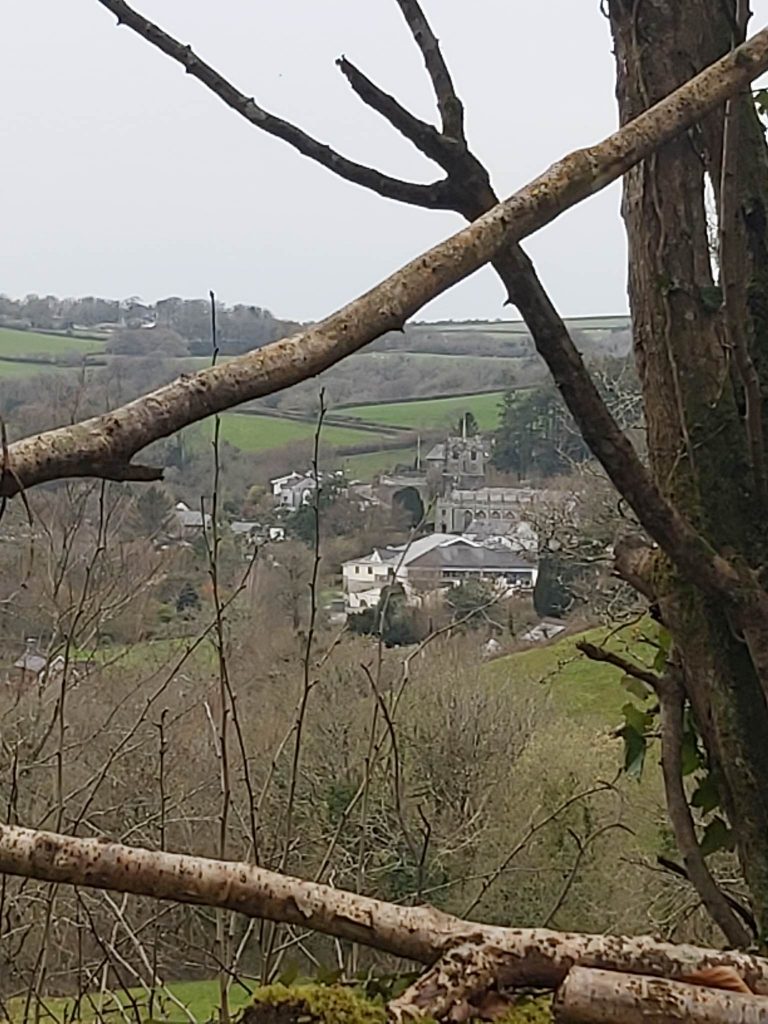
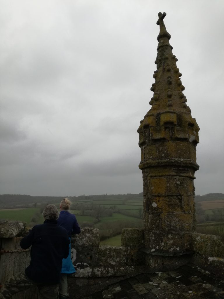
Option 3. For a longer walk, 8 ½ miles (14km)go over the bridge, turn right, past the footpath used earlier, keep going for 1 ½ miles, passing Browda, and Roundbury (an Iron Age settlement, imagine 2500 or so years ago a thriving community on this back road), eventually you’ll come to Linkinhorne. (You’ve 2 ½ miles back to Golberdon.) Keep right, at the church, St Melors, the tower rises to 120 ft high making it the second highest tower in Cornwall. You may want to take a look at the stocks in the porch and find the slate memorial stone against the east end church wall, which commemorates Katherine Nicholls, there is an amusing verse carved by Daniel Gumb, the eccentric stonemason, born in Linkinhorne on 14th April 1703, died in 1776, lived in a cave, in the shadow of Cheesewring, carved several of the gravestones in the churchyard. Facing the church is a row of cottages, one of these used to house the Sun Inn, in 1841 this small village supported 2 inns. The other The Church House Inn, recently closed, has been called The Stone Masons and …..
Continue around pass the red phone box, on the road to South Hill. In about 300 yards look for the footpath sign on the right taking you through to Mornick.
At Mornick turn left then right at the footpath sign taking you to Trewassick, Lansugle, Trewoodloe and back to Golberdon.