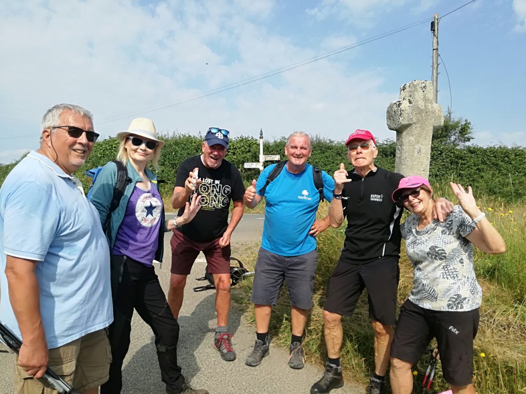
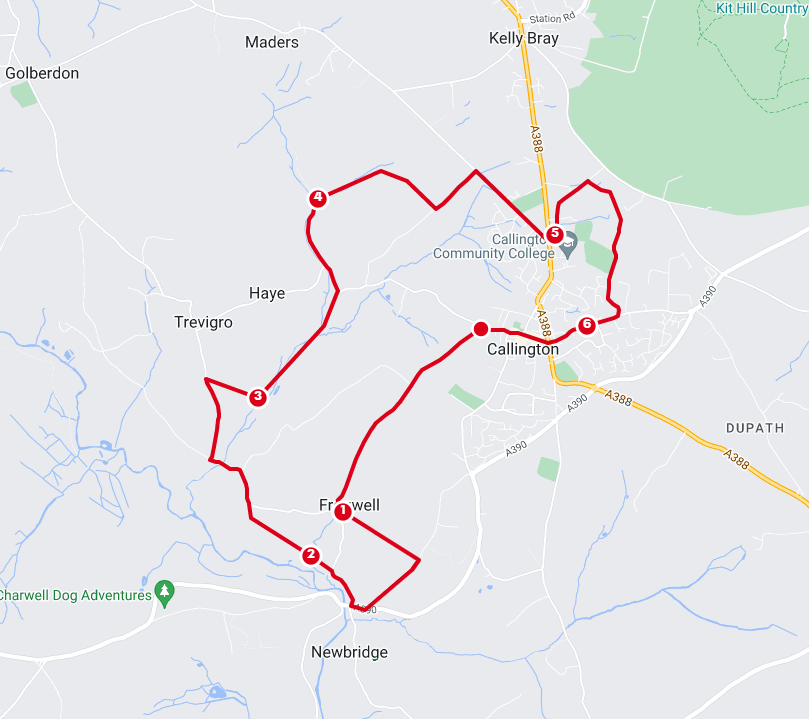
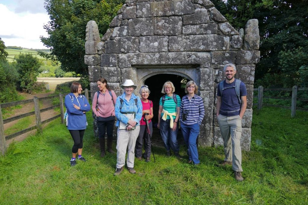
On a hot sunny day, we headed off on foot from Liskeard train station at 9am taking the road down to Lemellion and the site of the wool depot which closed in Feb 2021. Then taking tracks and footpaths stopping at Herodsfoot, All Saints, and popped in to see Ian the churchwarden and his dog Cheddy. Ian knew all about South Hill being a farm rep back in the day! A pretty little church with one bell, which we were allowed to ring, an interested bell rope …. The windows have recently been renovated by The Pipers, who have been working on St Sampson’s… and the community have painted the inside, with lots of scaffolding. Herodsfoot All Saints | National Churches Trust
We followed a shady path alongside the West Looe river down to Watergate and into Looe…. where we ran into a couple locals and of course rewarded ourselves with ice creams. …. after nearly 12 miles well deserved. We took the 3:15pm train back to Liskeard.
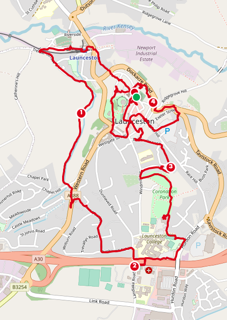
Taken from the Parish Council report of the meetings held on 16 May 2023
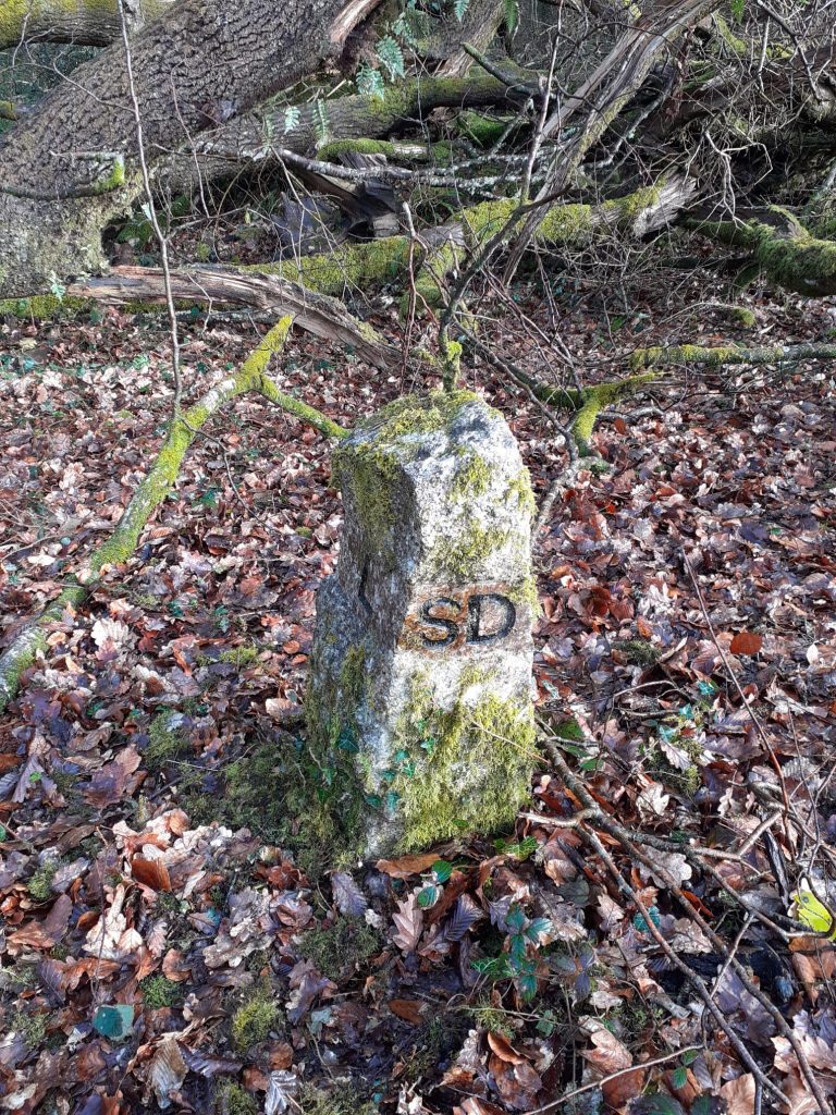
Some details have been obtained of the application by the British Horse Society for bridleways. The application has now been validated by Cornwall Council with details viewable from the following link https://secure.cornwall.gov.uk/dmmo/web and search for WCA 823.
Friday May 26th 6pm START at St. Mary’s church in the center of Launceston. Free parking in the Long stay car park around the corner, at the top of TOWER St.
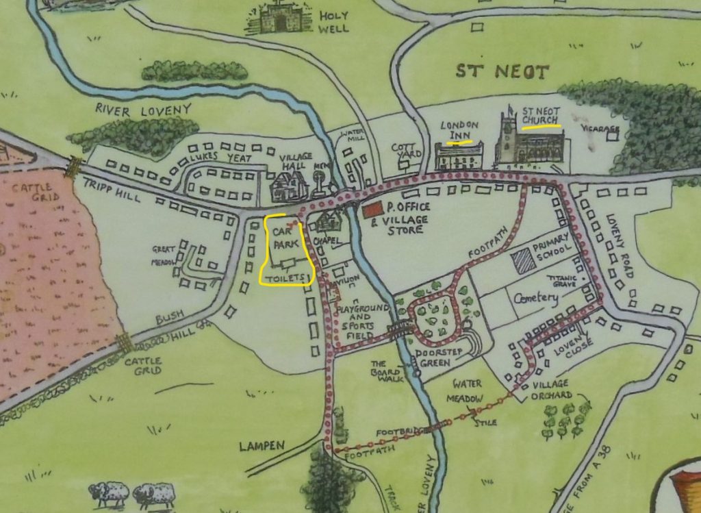
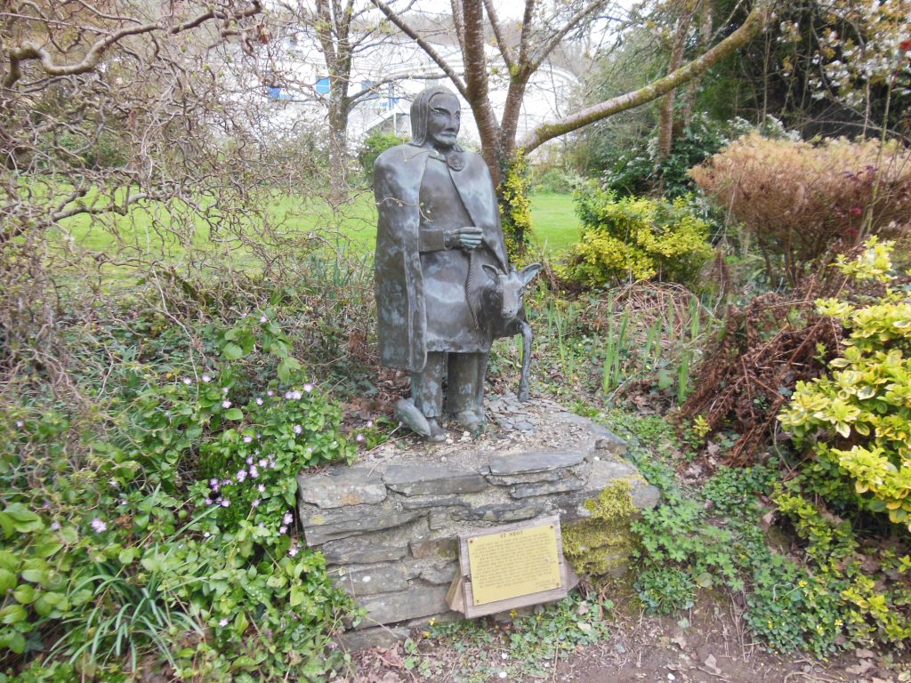
Park in the car park opposite the social club/village hall, at 9:50am, walk via Saint Neot to the church to meet the bell tower captain. Let me know if you intend to join us. So we don’t leave anyone behind. There maybe an opportunity to shortened the walk if needed. There are toilets at the start/finish car park and at the church and pub.
If you want to join us… I look forward to hearing from you. Ali. 07305 044049
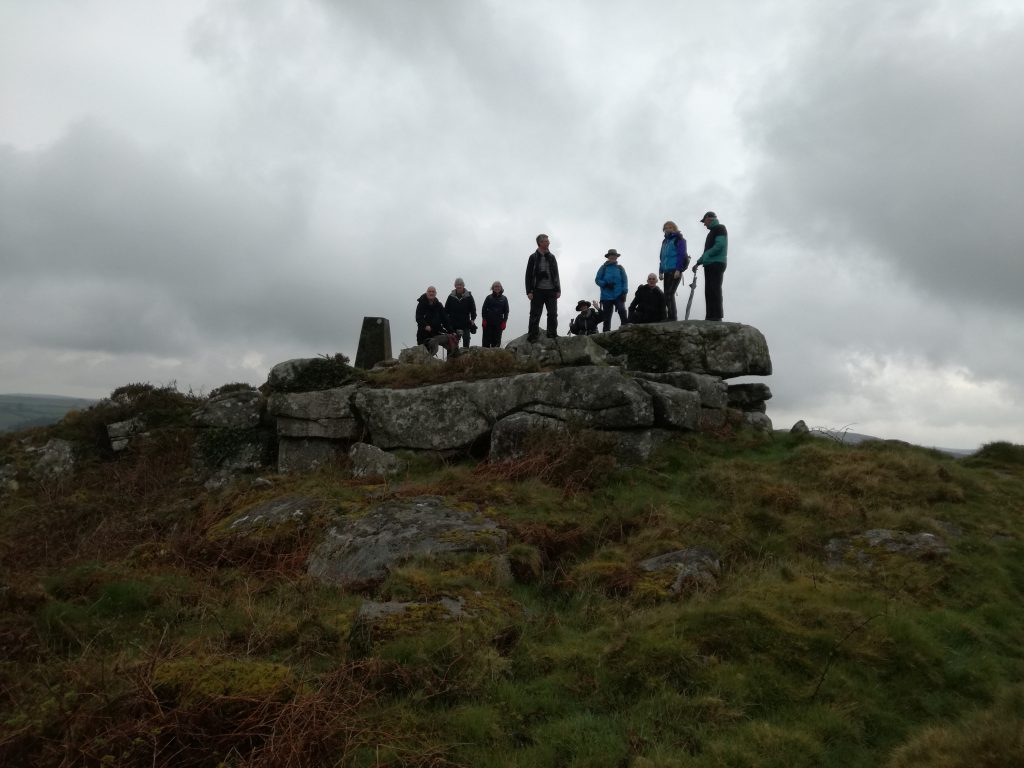
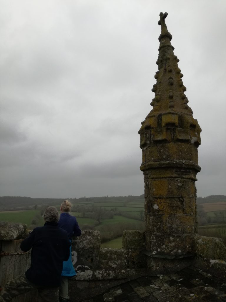
The Trig Point on BERRY DOWNFROM tHE CHURCH tOWERWinding the clock
In the earliest Life of St Neot (written in the mid-eleventh century, perhaps by a Cornishman, but anyway for St Neots in Huntingdonshire), the saint is portrayed as an Anglo-Saxon, who studied first at Glastonbury, then retired to Cornwall to become a hermit. It is this Life which first tells the story of King Alfred and the Cakes, in Somerset (a story which is not in Asser’s Life of King Alfred). Although St Neot is here said to have been a Saxon, nothing is known for sure of his actual origin. All that we know is that he was buried at St Neot, probably between about 865 and 893, and that his remains were later taken to St Neots in Huntingdonshire.
The one thing which is sure is that he actually visited St Neot and remained grateful for the relief from illness which he received through praying at the shrine of St Gueriir here. This happened before he became king of Wessex (while one of his three elder brothers was still on the throne), but while the sub-King Dungarth was still ruling Cornwall, who may be commemorated on the stone in St Cleer parish nearby. One of Dungarth’s courts would have been at Liskeard, of which the name implies a court (Cornish lys), possibly ‘of stags’ (Cornish kerwys, older kerwyd); in the later Middle Ages there were two royal deer-parks in Liskeard parish. King Alfred was on a hunting visit when he visited St Neot. Was he on a royal visit to the sub-king Dungarth, staying at Liskeard and being entertained there?
The cross of Doniert and the large cross outside the door of St Neot church are both in the new style of ornamented cross, introduced into Cornwall in around 900. This means that the one would be of about the right date for ‘Doniert’ to refer to King Dungarth (it is a variant spelling of the same name); and the other would be of the right date to have been presented to the church by King Alfred in gratitude for the help that he received from St Gueriir’s shrine there. If St Neot died during King Alfred’s reign, he might already have been living at St Neot, and might have shared in the king’s gratitude. So it is possible that this cross at the church was given to us by King Alfred. TY Kate.
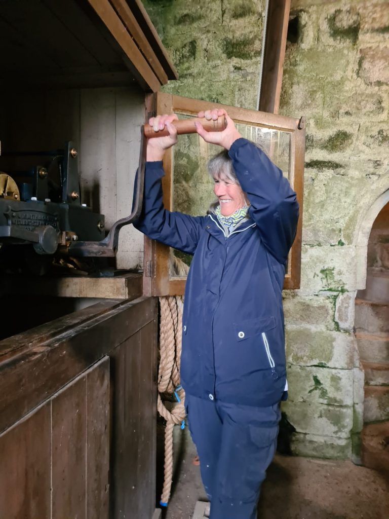
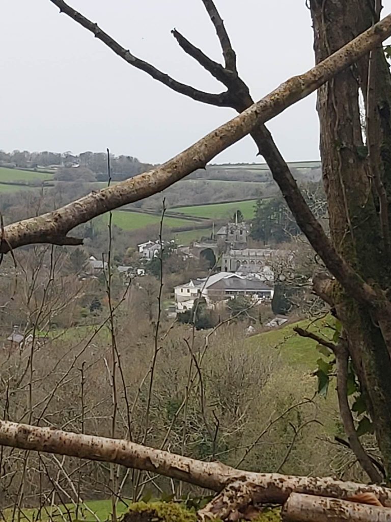
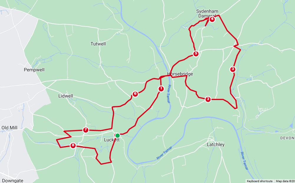
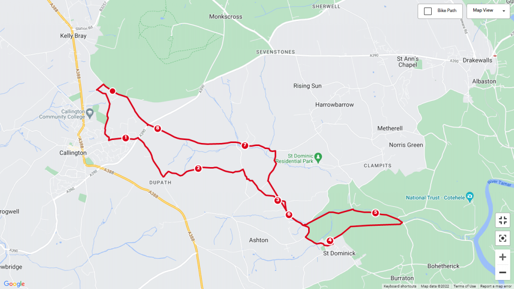
Starting at Luckett car park at 10am, (there is limited space here) we’ll stride out to Horse Bridge along the muddy footpath. Or meet us at there. ( it’ll take us 1/2 hour to walk ) More muddy footpaths take us through Scrub Tor (where we spotted deer on our recce) and fields with new born lambs to Sydenham Dameral church, (4 miles) arriving at 12 noon ish.
We’ve been invited to climb the tower to see their bells…..
Heading back via Horse Bridge ( to cross the Tamar) and pick up anyone that slipped away to the pub. .. we’ll follow the road back to Luckett BUT .. by the new defibrillator … (adding a couple miles) we’ll head off along the footpath to Broadgate Engine House… then drop down crossing the leat and follow the mine workings track to the road, taking the footbridge over the ford. Staying on the Apple Line under Deer Park, we will encounter their wonderful Highland Cattle, and back onto Luckett Hill and DOWN to our start/finish. 8.8 miles in total.
Great weather to start our walk, came in drizzly as we arrived at St Mary’s church and climbed the tower, wonderful views, and fun “ringing” the bells. Thank you to Mike for a great hour, before heading back via Sydenhal Dameral Mill and as soon as we crossed into Cornwall the weather cleared again.
From the church turn Right at the crossroads, towards Bray Shop. Follow the road to the entrance of Treven and turn Left into a grass field, head to the far corner, there’s a stile under a tree. Step up and down into another grass field with well behaved horses here, that will probably ignore you. Keep left aim towards Caradon Mast, and follow the hedge to the bottom fence with gate in the left corner. To your right spot a stile over the hedge, take care as you drop down into the road. Turn Right towards Linkinhorne with St Mellor’s church coming into view. Turn left through a newly widened gate, clearly marked with a footpath signpost, into a grass field. Walk towards the wind turbine and you’ll see 2 gates before you, take the left hand gate. Keep the hedge on your Right and at the bottom of the field go over the stile, cross a small stream, then walk up the sloping field, keeping the hedge on your right (turn around to see the views and catch your breath). In the top corner, you’ll see a gate (with a For sale sign on it). Go through this gate, into a path which opens into a track and brings you to Mornick.
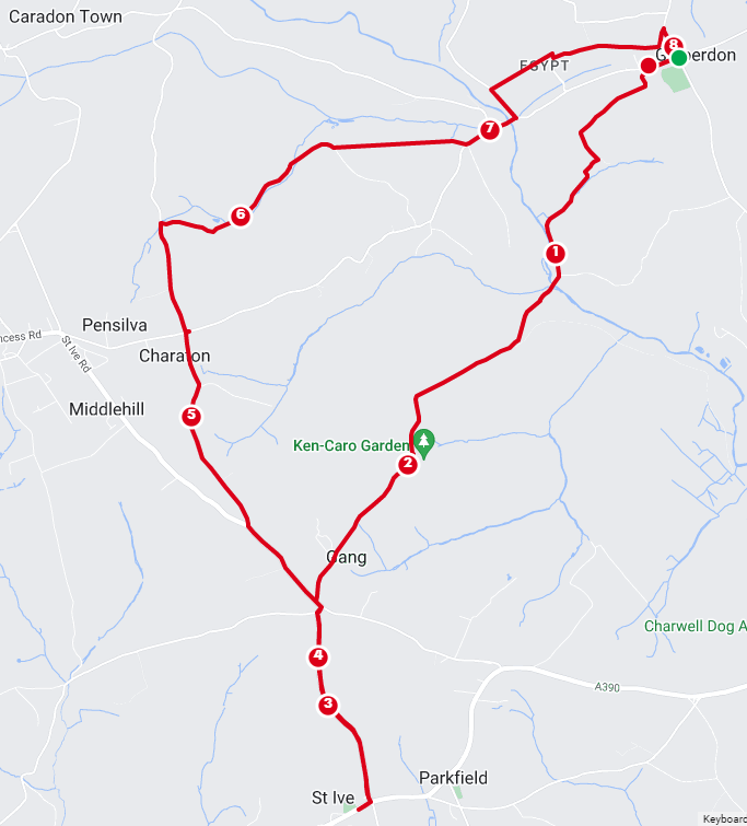
8 miles circular walk, mainly quiet roads and some footpaths to start crossing fields.
From Golberdon: Lane to Trewoodloe House, follow the footpath across the fields to Berrio. Turn left at the road & follow to the junction at Kerney bridge.
Take the Pensilva road, up the steep hill until you reach Scrawsdon Farm entrance on your right with a footpath sign! Follow this to Mill Lawn.
At the road turn right and go through the wood to the junction and turn left, to Charaton Cross. Go straight over towards Gang. At the next junction keep left, and pass an old granite horse trough.
At the next junction ( GANG ) the road on the left, is the route back, via Bicton Bridge and back to Golberdon. But turn Right and follow this road all the way to the main road and the church on the Right.
The church is now owned by the owners of the Old Rectory, opposite, who are renovating it into a museum to Emily Hobhouse.
The Church tower with bold setback buttresses is unique in Cornwall for its 12 pinnacles instead of the usual four. A sundial above the main porch door is dated 1695. Inside look up, the roof is original woodwork with carved angels and one green man.
The modern glass in the window is a memorial to Archdeacon Hobhouse. rector from 1844-1895 and responsible for the restoration and a remarkable benefactor to the parish. He was also father of Emily known as The Angel of Mercy for her work among the Boor women and children in South Africa during the Boor war. A lot of information about Emily and her charitable work can be found in the church.
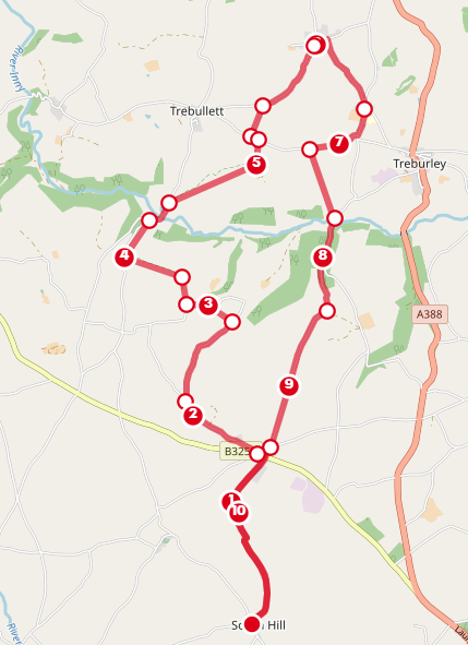
This month we’re heading to Lezant church, you have options on the length of walk. Starting from South Hill the full walk is 11 miles
Or start from Bray Shop is 8 miles
Or one way to/from Lezant can be arranged
STARTING from SOUTH HILL CHURCH at 2:30pm or BRAY SHOP at 3pm
The route takes us along the road to Exwell where we follow the footpath to Trerefters, onto Kingscoombe and Tregoiffe. Taking the road down to Trecarrell bridge and footpath to Trebithick and West Penrest, then road into Lezant to the church, where we’ll be able to go up the tower and ring the bells. We return via Trekenner taking the footpath through East Penrest to Trekenner Mill and back via the road.