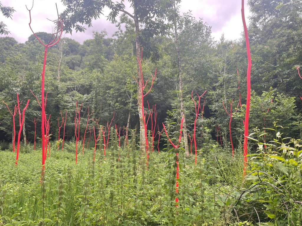
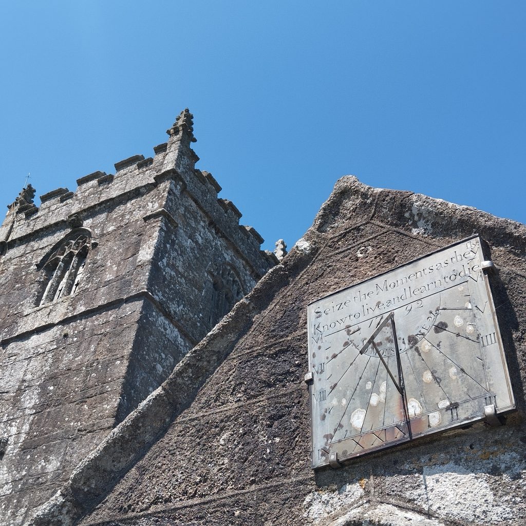
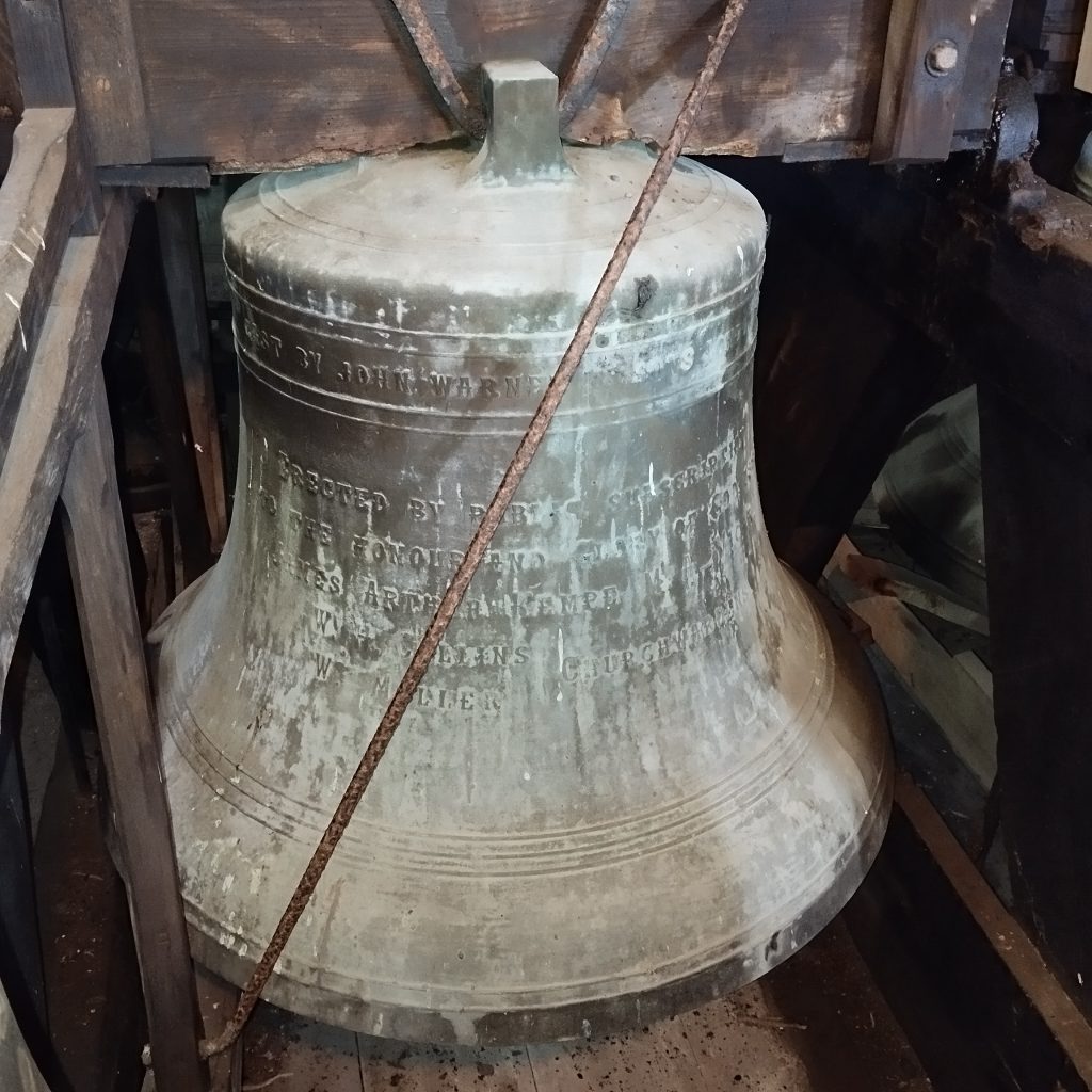
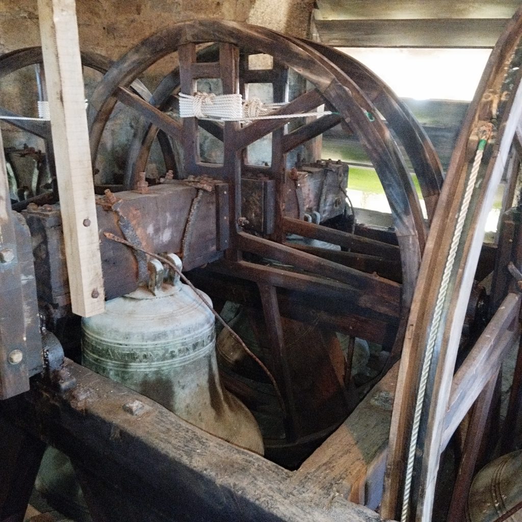
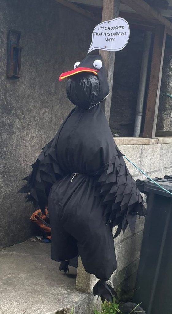
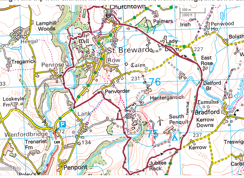
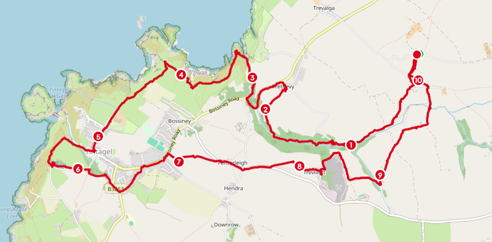
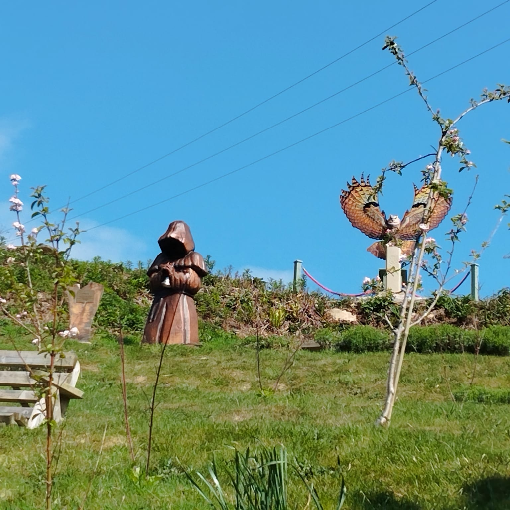
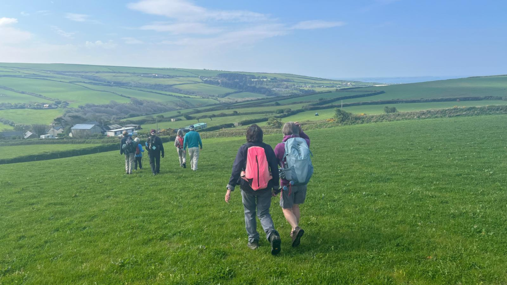
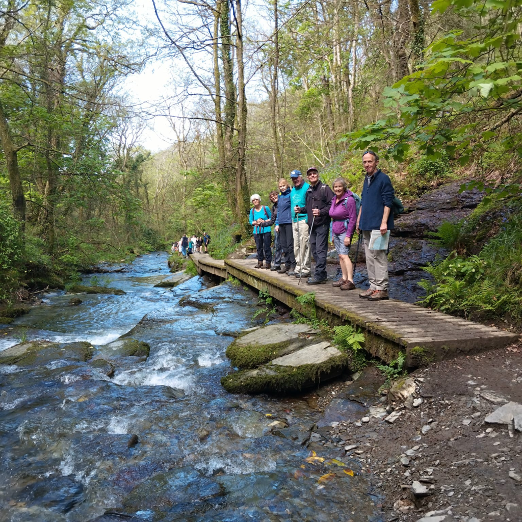
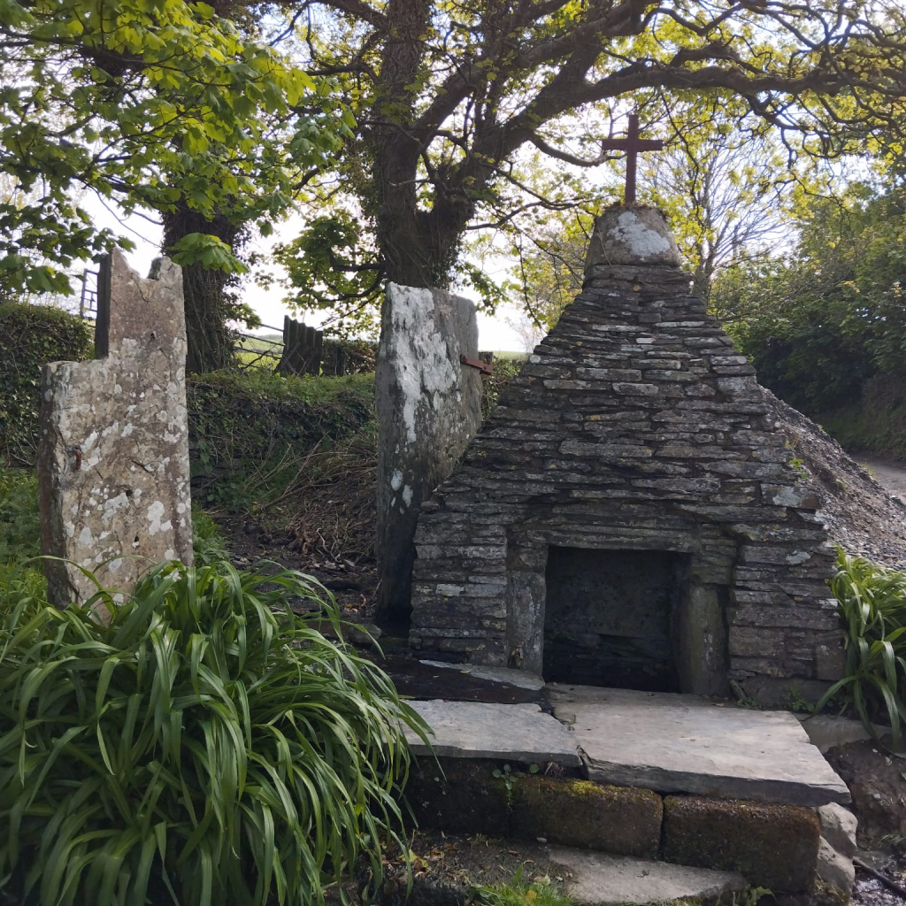
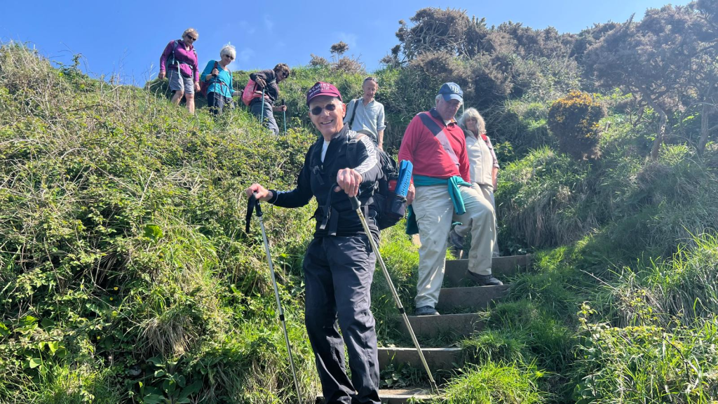
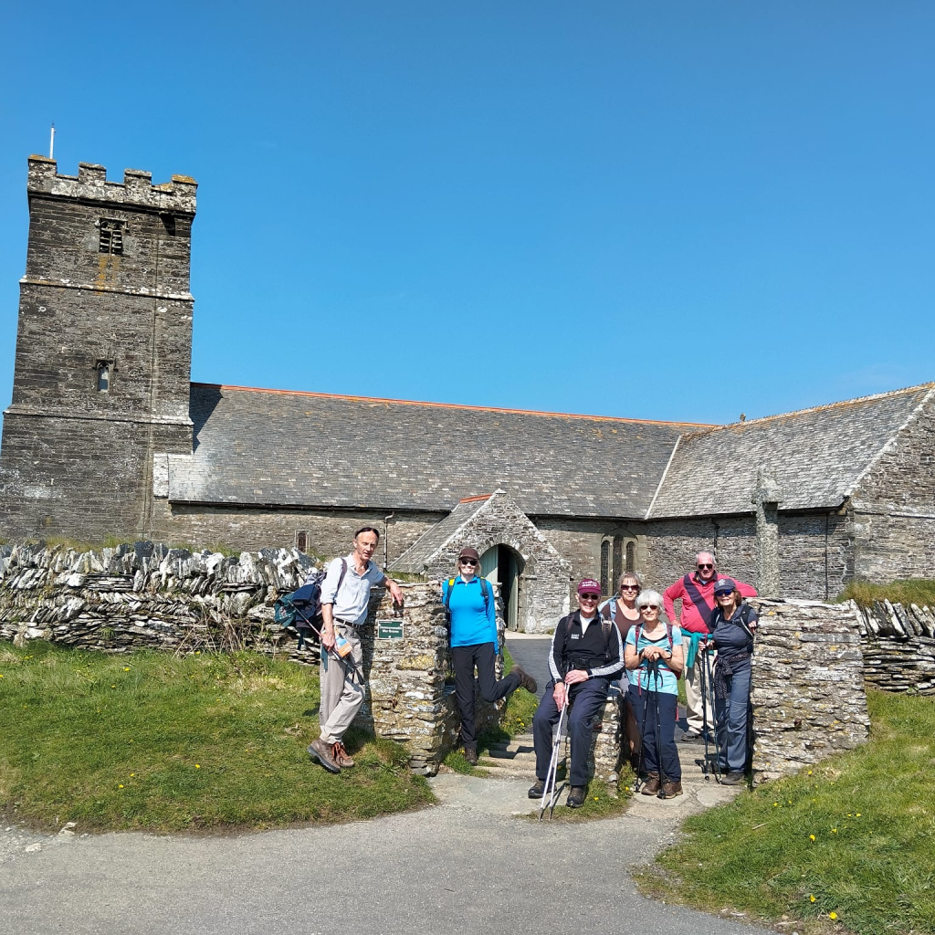
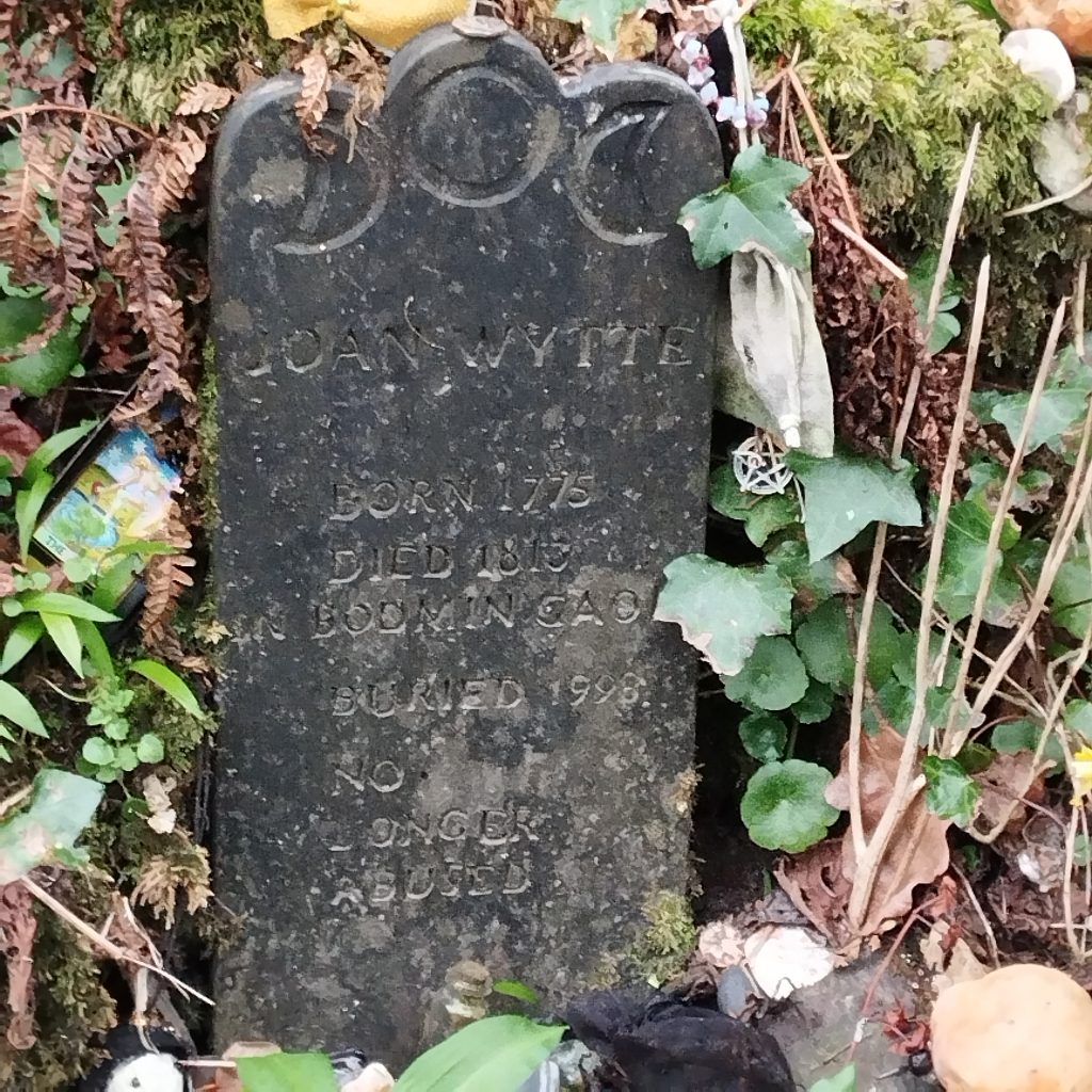
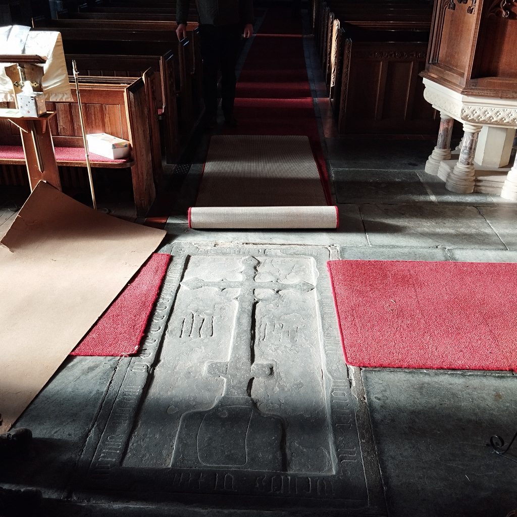
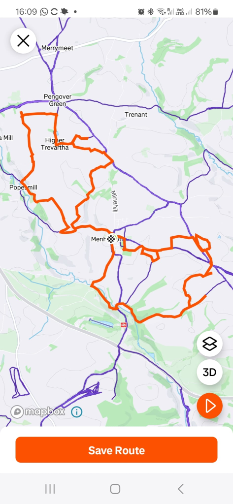
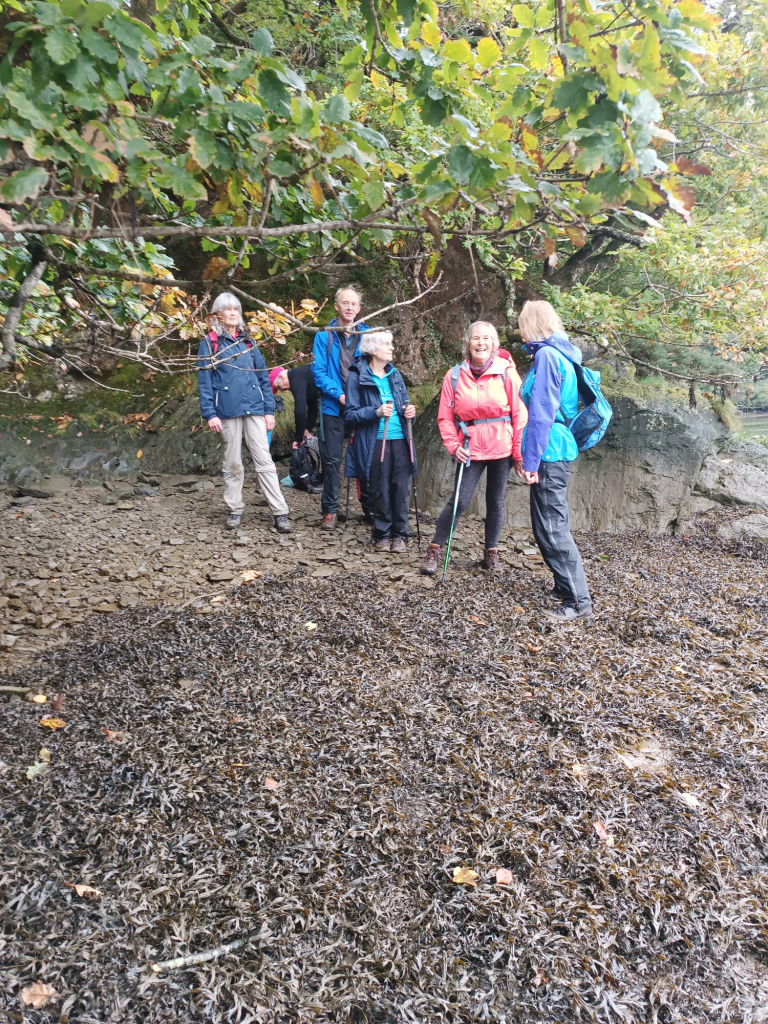
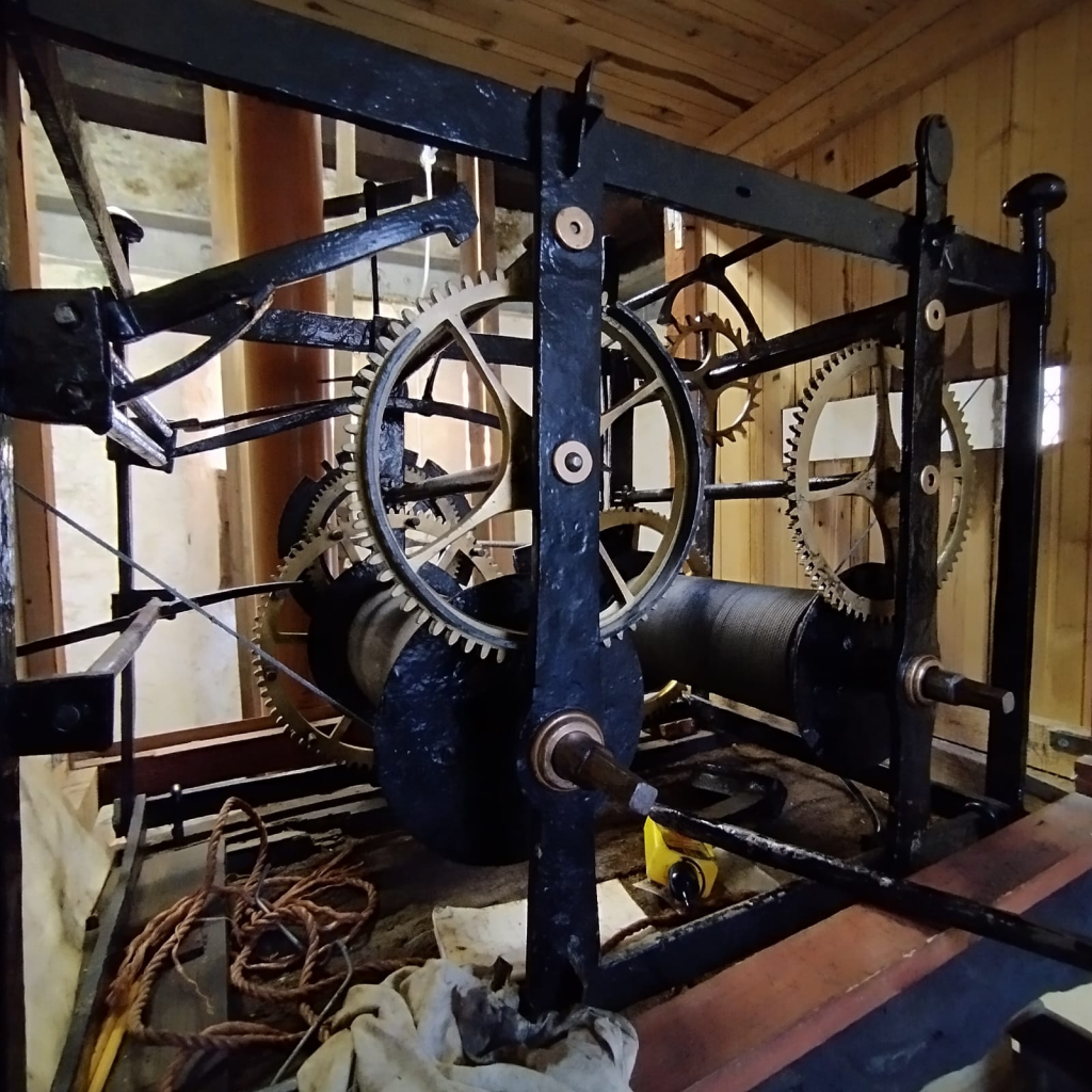
August 28th 2024. We were met at Kelly by Warin Kelly and his daughter, who told us about Poison in The Garden. Kelly’s have lived in this house for over 900 years, the church stands next door and they gave us a brief history. We noted the carved 3 hares, deer and Green Man.
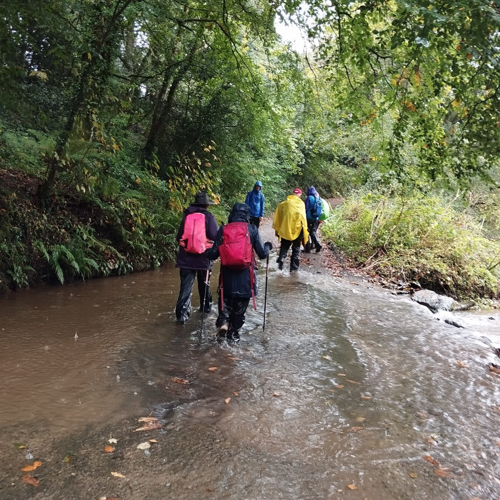
The 6 mile walk took us along quiet lanes, across fields, plenty of stock out, and back along the Tamara Way. SWW are putting in a pipe line, all well marked. We stopped at TURCHINGTON snack shack for a cuppa and rest stop. The ground was a bit damp ( 🙂 ) along the forest track, and a bit steep coming back up to Kelly, but the sun was shining , the views amazing and chatter endless.
Once back at Kelly we took the cars a mile along to Bradstone and parked in the expanded car park next to the church and set off a further 3 miles. The track took us down into fields, we should have walked alongside the Tamar, but missed the path (talking too much) and walked through fields and wood back onto the road, a further field and lane back to Bradstone where we met the owner of Bradstone Wedding Venue, what a beautiful place. The church by contrast inside is very plain.
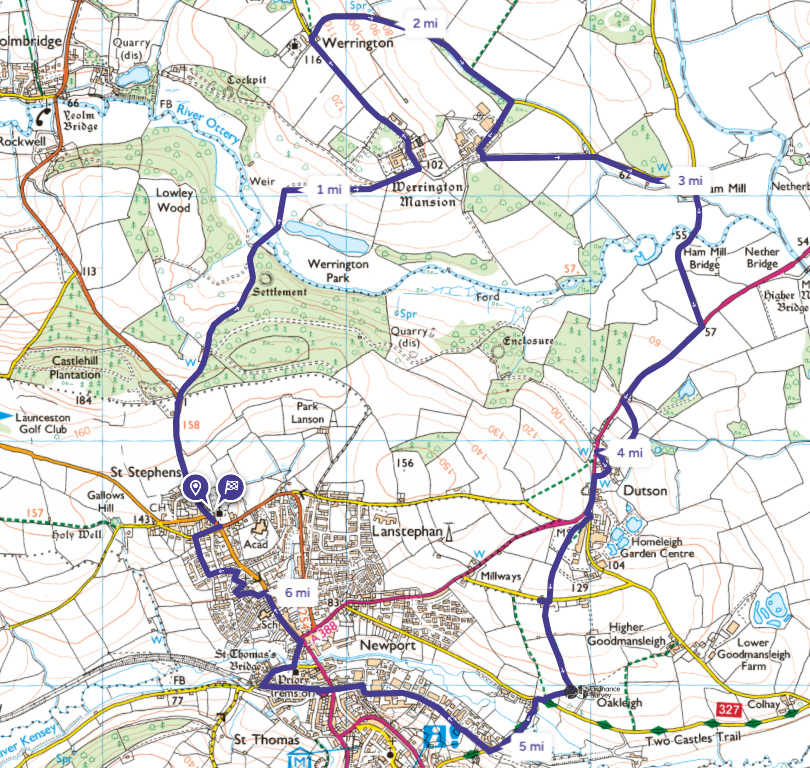
August 24th 2024. Starting at Werrington church, we crossed the road into the field and stopped to enjoy the magnificent views.
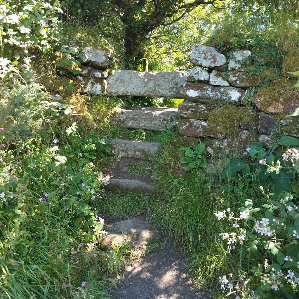
The footpath crossed a few fields with interesting stiles and emerged into a farm yard at Mountshire, up the drive and onto the lane, leading us to Tamartown.
The Tamar off to our left. At Bridgetown the incline plane and tow path could be imagined if not seen.
Then around a bend and THE TAMAR came to meet us.
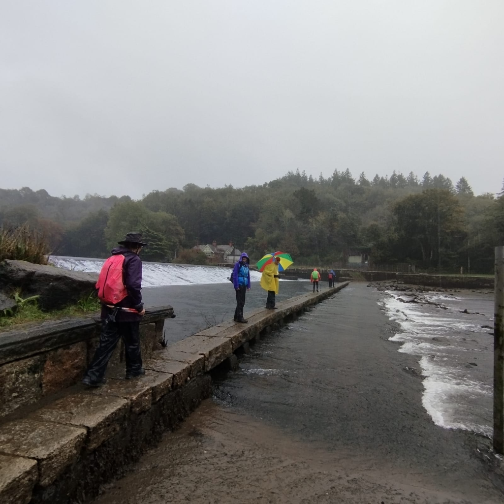
A lovely footpath ran a long a short distance of the river, through a field into a small wooded area and out at Druxton bridge. There has been a bridge at Druxton since 1370, the current bridge has been here since 1662. Compared to Horsebridge 1437.
From here we took the footpath at Crossgate, through fields and eventually out onto the road and returned to the church. We then went the short distance to watch the cricket and a cuppa tea.
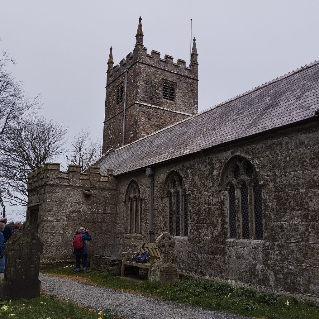
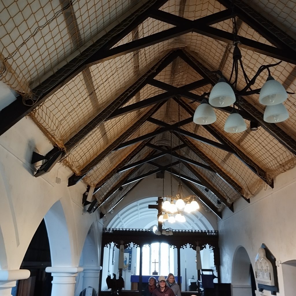
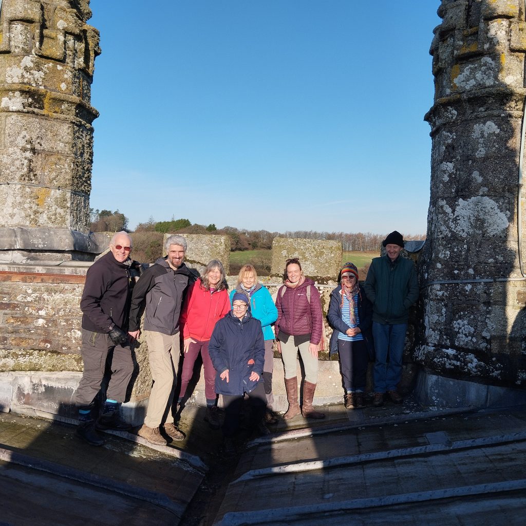
Ex policeman Norman gave us a great history of the church, the village and area. There was no war memorial here so Rev’d Medcraft, designed and had a tablet installed in the church, despite objections from the Bishop. It was a bit of a do with the Marquis of Queensbury, who had family ties with Medcraft, preforming the unveiling in 1950. The font possibly the 2nd oldest in Cornwall. Beautiful stained glass windows and carvings throughout. Like many the screen was removed, saw marks still evident. A boiler was installed for heating and the flue has a chimney pot on the roof, that must be a 1st. The 5 bells and roof are only accessible by ladders, no spiral steps at this church, another 1st for us. We made lots of noise…. Norman has rung in all Cornwall’s churches bar 3, (and many in Devon) we left him continuing his maintenance jobs and left a car here, and drove to St Anne Whitstone (dont mix up with St Anne, Whitstone, Exeter).
The church is dedicated to St. Anne although St. Nicholas appears in original records as early as 1309, Nestled in the sloping hillside, the tower is 56 feet high and contains five bells, which we had permission to ring .. the tower was out of bounds due to a birds nest (we’ll be back). The entrance porch has slate on end flooring and a small curious stained glass and barred window into the church. The Holy spring dedicated to the pagan goddess, Anas, inside on the back wall, is a niche with a primitive carved head above. We could also see Marhamchurch church tower.
Rector Richard Buvyle, d.1358, rumoured to be a saint, and a number of cures took place at his grave, which is at a crossroads as thought he committed suicide. The cult spread rapidly throughout North Cornwall and Devon, turning the church into a centre of pilgrimage, The Bishop ordered an inquiry in 1361 and ten remarkable cures were verified by a jury of three vicars, three curates and six laymen specially summoned at Week St. Mary for the purpose. Once ‘official’ the cult seemed to lose interest.
Now our walk starts, heading off pass the school we turned right onto footpaths, a straight line to Nethercott farm, where we met the family looking forward to entering the local agricultural shows. We picked up roads, crossing the B3254 and back on FP through the Beardon estate, and soon back to Boyton, on the TC2C way. 8 miles exactly.
Back in the car we drove to N. Tamerton, the route of the TC2C, and stopped at St Denys church for a cuppa tea, and played snakes and ladders, the bells are currently in storage, so we’ll be back. There’s an arch over the entry gateway, a slate sundial over the porch and Robert Stephen Hawker, vicar of Morwenstow, served as curate here from 1830-1835. The Parish Victory Hall next door.
We drove over the river Tamar, and happened across Michael of Well Farm, where the family have glamping and holiday lets. His wife told us there are no footpaths in the parish. Eventually we drove back to Whitstone to the car and headed home.
St. Marwenne church stands in the middle of Marhamchurch village alongside the shop, pub, school… The 15th century oak door and knocker leads onto a chequerboard floor of slates on edge. Liz gave us a warm welcome and some history then we made lots of noise on the 6 bells before heading off to the shop (toilet) and on our way.
Heading on a quiet lane and along the tow path pass The Orchard to Marsh Farm then picking up the bridleway all the way to Homeleigh Garden Center taking care when crossing the busy road… we didn’t stop until we reached Launcells church. (toilet)
Here we noted how light the church was having plain glass windows. The amazing carved bench ends by the Pinwell sisters. The painting of the team of bell ringers from King George 3rd, 1760. We sought out the grave of Sir Goldsworthy Gurney inventor 1793 – 1875, to the right of the porch.
The graveyard lead us to Launcells Barton wedding venue then footpaths up to the main road, which we walked for a short distance and crossed again to pick up the path to Hobbacott Down. Lots of history here and the Bude Canal incline plane, an amazing feat of engineering to raise the tug boats. Continuing on FP through Beeston farm and pass the HORSE, to Stert and onto Great Beer farm, picking up the road. Talked to Ashleigh the metal detector, then FP past New Meadow Barn and road back to Marhamchurch shop for a hot cuppa tea sitting outside before rain started spitting and we packed up and headed home. Another great walk and made extra special by the people we walked with and met along the way.
We dropped a car at Grimscott village hall car park then drove on, and started the walk at Hersham (meaning we didnt have to walk on a busy road) then followed the TC2C on lanes and fields to Launcells church. A couple walkers got distracted by the views and cows at a gateway and fell behind, but we reunited and rushed on to St. Swithin for 11:30am. A little later than our arranged time. Thanks to Helen for the welcome, we were able to make some lovely noise on the 6 bells and we’ll be back here again on our next stage.
For now we headed off along footpaths to Stratton and onto Poughill, an hours walking. Through the fields of Stamford Hill, (where against overwhelming odds at the Battle of Stamford Hill the Parliamentary forces were routed on 16 May 1643).
St Olaf’s has impressive wall paintings, bench ends, medieval south door and roof bosses dating from the 1530s. Dave welcomed us and covered his ears as we pulled on the bell sally’s then climbed the tower to see the 6 bells and clock and up onto the roof with views stretching before us to Bude, a perfect day for sight seeing. Sir Goldsworthy Gurney brought about the adoption of a Standard Time throughout the country, a plaque above the entry door, records that the clock was placed in the Tower in his memory, by his daughter Anna. More about him later back at Launcells church.
……………………………………………..
Once we’d wandered through the graves, in the large graveyard, we headed back down to Stratton via Broomhill Lane ……………………………………. arriving at St. Andrews at 2pm and in time for the afternoon cream teas event…
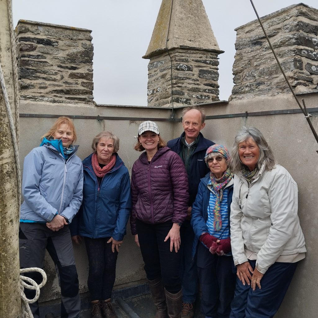
The wooden rood screen was completed in 1907 a fine example of the work of the Pinwell sisters work. We didn’t look for a GREEN MAN, is there one here? we did see the RED DRAGON (also one at St. Sampson’s) We struggled to chime the heavy bells, but enough noise to draw comments. Once we had enjoyed the tea and wonderful cakes and were refuelled, a very friendly crowd were arriving to have their fill. We were thrilled to climb the tower, pass the clock and bells to the top for more spectacular views and could see Launcells church nestled in the trees, and the town below us.
Back along the 7 Bridges walk, we did some lane walking before turning onto a track leading us back to Grimscott .
Around 10 miles. July 31st 2024
More notes: St Olaf the only Anglican church in Cornwall to be dedicated to a foreign king – King Olaf or Olave of Norway, who was born in 995 A.D. and killed in battle with pagans in 1030. Entry door dates to 15th century, complete with ironwork from that time, is still in position, but unable to close. Just above the door is a plaque recording the installation of the church clock in 1889 by Anna Jane Gurney, in memory of her father, the famous Sir Goldsworthy Gurney (1793-1875), builder of Bude Castle, surgeon, scientist and inventor. The font is behind the tower doors inside the tower. 67 medieval carved oak bench ends. 2 wall paintings of St Christopher, carrying the young Jesus across a river. They were discovered in1894 beneath whitewash (the church accounts actually record the “washing out” of the paintings in 1550) and the originals are believed to date from about 1470, although they were then rather garishly “restored” after their re-discovery.
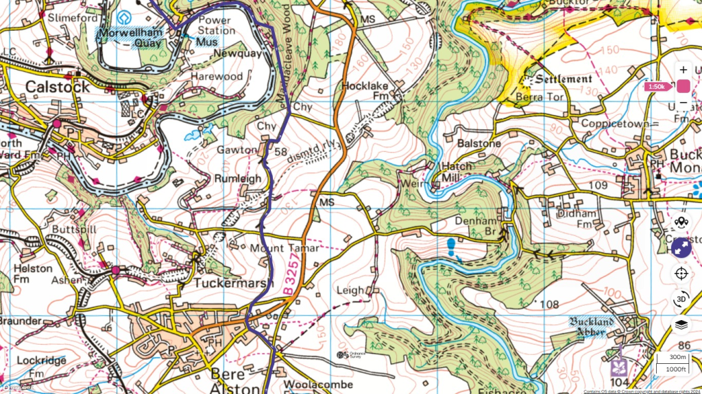
St Andrews Stratton. The oldest part of the structure is the mid-fourteenth century north aisle, with the south aisle, chancel and tower having been added in the fifteenth century. The font precedes these as it has been dated to the twelfth century. On display are the old town stocks and the studded door from Stratton Gaol, with iron nails outlining the word CLINK. A display case contains battlefield relics from the Civil War, found at nearby Stamford Hill, and a copy of a letter sent by Charles 1 to the people of Cornwall, thanking them for their support against parliament. The Lychgate was erected in 1932 using oak from the last wooden warship, HMS Defiance.
Tower captain of St Andrew’s Church Stratton, Jo Barnes, tolled the tenor bell 100 times to commemorate the funeral of HRH Prince Philip at 2pm on Saturday, April 17 2021 This was no mean feat as the bell at St Andrew’s weighs 21 cwt.
We parked for free at Lower Tamar Lakes car park and took the aqueduct trail. The Aqueduct branch of the Bude Canal network [Bude-Holsworthy & Bude-Launceston] supplied water to the canal from Lower Tamar Lake (then Alfardisworthy Lake, named after a nearby hamlet) a reservoir built for that purpose in the 1820s. Later it was used to carry goods as far as the 13 milepost we saw. Later still, it supplied water to Bude until it was replaced by Upper Tamar Lake (built 1973-77). The picnic table we used, is dedicated to Des Shadrick. It is unclear why the border heads west of the Tamar here, but it has been so since at least the 1500s. The “Cape Horn” sign was the name given by bargemen to the almost 180 degree bend at that point.
Coming off the tow path at Morton we’re close again to the Cornwall Devon border. We didn’t see the white donkeys we encountered on the recce. It was a welcome stop at the PIGSDOWN Cafe, maybe we shouldn’t have stayed so long as it started to mizzle before we reached our cars.
A lovely FLAT walk for a change so far on this long distance route.
Starting as the Tamara Way disappeared off the road into a narrow path of tall wet grass, which took us past Hudscott Farm and down their concrete drive. After a short way the route turned left down a track into fields, over a stile, over a footbridge to emerge at Upper Tamar Lakes. We continued over the dam and walked the 2.7 miles around the lake, where we observed the many fisherman and birds.
The cafe was open and invited us to eat our packed lunches inside as it was drizzling. Great toilets here also.
Once sated we continued back over the dam, turned right this time and picked our way around to come back up the track and farm lane, turning left through Hudsland Farm, negotiating the electric fences. One of the final hurdles we faced were brambles and nettles and a stock proof fence, but using the anchor post and bars, we scrambled over. Walking up the tram lines, we entered an overgrown track with tall wet grass which soaked us, just before we arrived back at the cars.
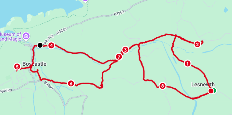
Starting from Woolley we followed the TAMARA signs down into the wood and along the stream, crossing back and forth emerging at Gooseham Mill then back into Marsland woods still staying close to the stream. The route joins a track where we turned left, (if you went right you’re heading for Marsland pebble beach). Down the track and up the other side, keeping left to the road. Turn right at the road. Views from the field gateway to the sea were stunning.
Pass The Barton we took the permissive path on the right (the brambles could have done with a trim), no sign of any ponies. We joined a track down over another foot bridge then up through fields (views amazing, we had blue skies all day) and around the farm yard following another suggested path onto the road. A short walk brought us to another farm, Cox farm…. (continue straight on and a FP brings you to Morwenstow church) the FP goes through a couple fields with young heifers and an electric fence, then through a maize field, so as we had a dog with us we turned left onto the farm driveway and followed that to the road. Stopping here to admire the views of the church and coast and eat our snacks.
Continuing on turn left at the road, and immediately right onto a track, which eventually leads you to Gooseham, a pretty hamlet, turn right and after this gate turn left by the noticeboard and straight onto another stoney track.
Follow this track down, then keep right up to the road. Turn Left down then up following the signpost to Woolley and our cars parked on the grass by the noticeboard.
We walked 8 miles. The weather was great, the company greater and the ups and down of the terrain made for a satisfying walk. June 25th 2024.
Our aim to walk the TAMARA TRAIL, not in a liner fashion but loops back to our cars and including a church with bells.
We started on 28th May 2024, a wet day at Morwenstow.
The walk took us from the churchyard, down through the old vicarage, through a wooded area, over a Footbridge to a pedestrian gate where we headed left out to the coast. Turning right/north we followed this along the cliff top, edged with colourful wild flowers. The views would have been impressive if we could have seen them through the mizzle. We could just make out the way ahead across the valley and met other hikers on their coastal path challenges.
We counted as we climbed the 202 steps up and stopped for a photo at the Tamara C2C sign post, high on the cliff top.
But didn’t turn here as we dropped down to the Devon/Cornwall border, footbridge over the stream and had a lunch stop at Marsland Mouth black pebble beach.
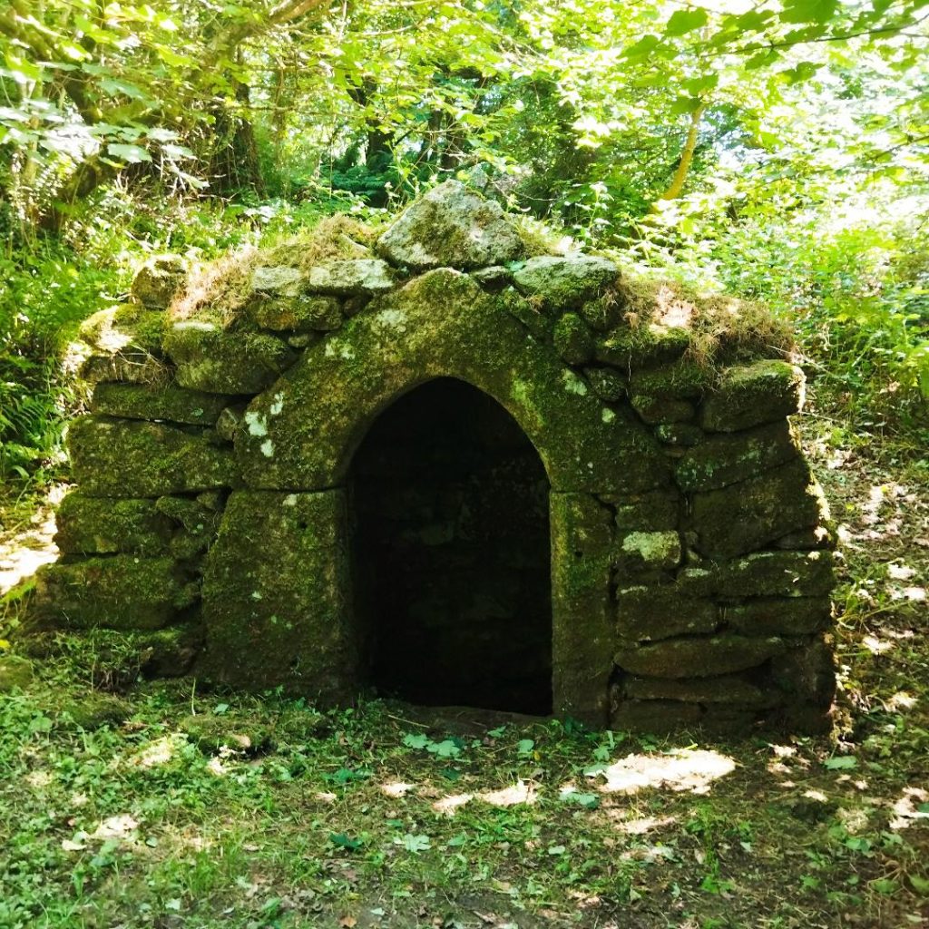
Refreshed we decided to climb the slog up to Ronald Duncans writing hut. Where we met hikers from the Germany/Austria border, then backtracked down and headed into Marsland Valley Nature Reserve, foxgloves were impressive here and followed some of the Tamera C2C discs through the woodland path , eventually emerging at Gooseham Mill. Here we headed UP HILL on the road into Gooseham, with its lovely thatched buildings. Turned right just after Gooseham Barton, followed the road and turned left just after Glen Elm cottage onto a track … keep going… over the road…. More track….. left and quick right and you’ll soon see a FP sign on the left into a maize field. Metal gate tied with blue, pink and orange twine. Follow the hedge on your right… go through the gateway and keep the hedge on your left, down and around until you see a pedestrian gate set back in the hedge onto a grassy track. Follow to the end, another pedestrian gate go straight ahead (drainage pipes being laid when we were here). Keep hedge on your left all the way into a lane (dumping area) keep going back to the church. The Holy well is at the end of this track on the Right at the right of the entrance to the old vicarage driveway. The NT sign was hidden in high grass.
Then we headed for the TEA ROOMS by our cars, they didn’t flinch as we marched in slightly wet and muddy and the tea and cakes tasted marvellous. We’ll visit Hawkers Hut another time.
We started the walk round 12ish and finished at 5ish and covered 7 ½ miles.
May 24th 2024. The day started with breakfast at Elvira’s cafe before catching the Cremyll Ferry and skirting around Mount Edgecombe House up to Maker church where we were welcomed to chime and view the bells then climb the tower to the top to take in the specular views of Plymouth and surrounding countryside. (This tower was a lot easier to navigate than most we’ve encountered, as has regular open days)
Then onto Kingsand and Cawsand before returning along the coast path. A beautiful day and great company again.